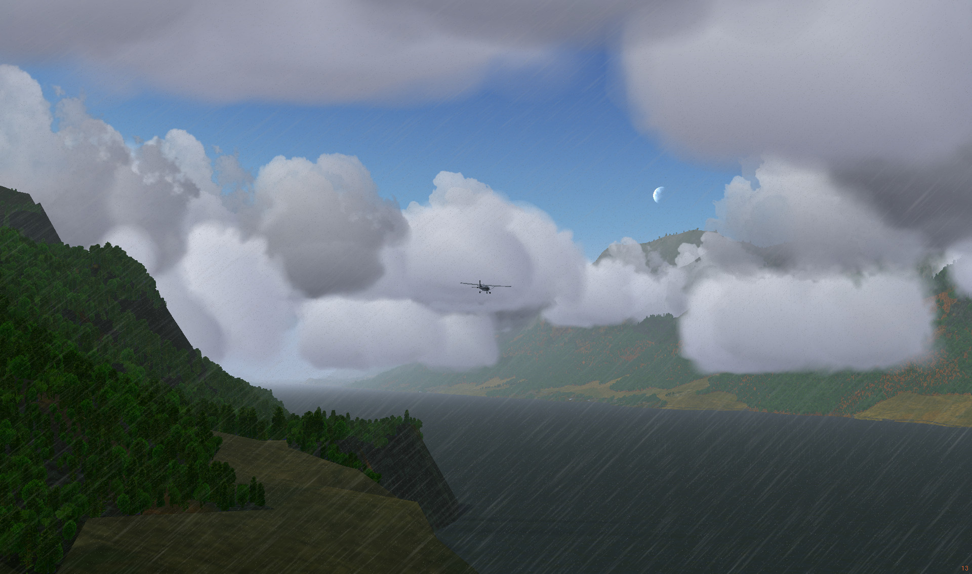
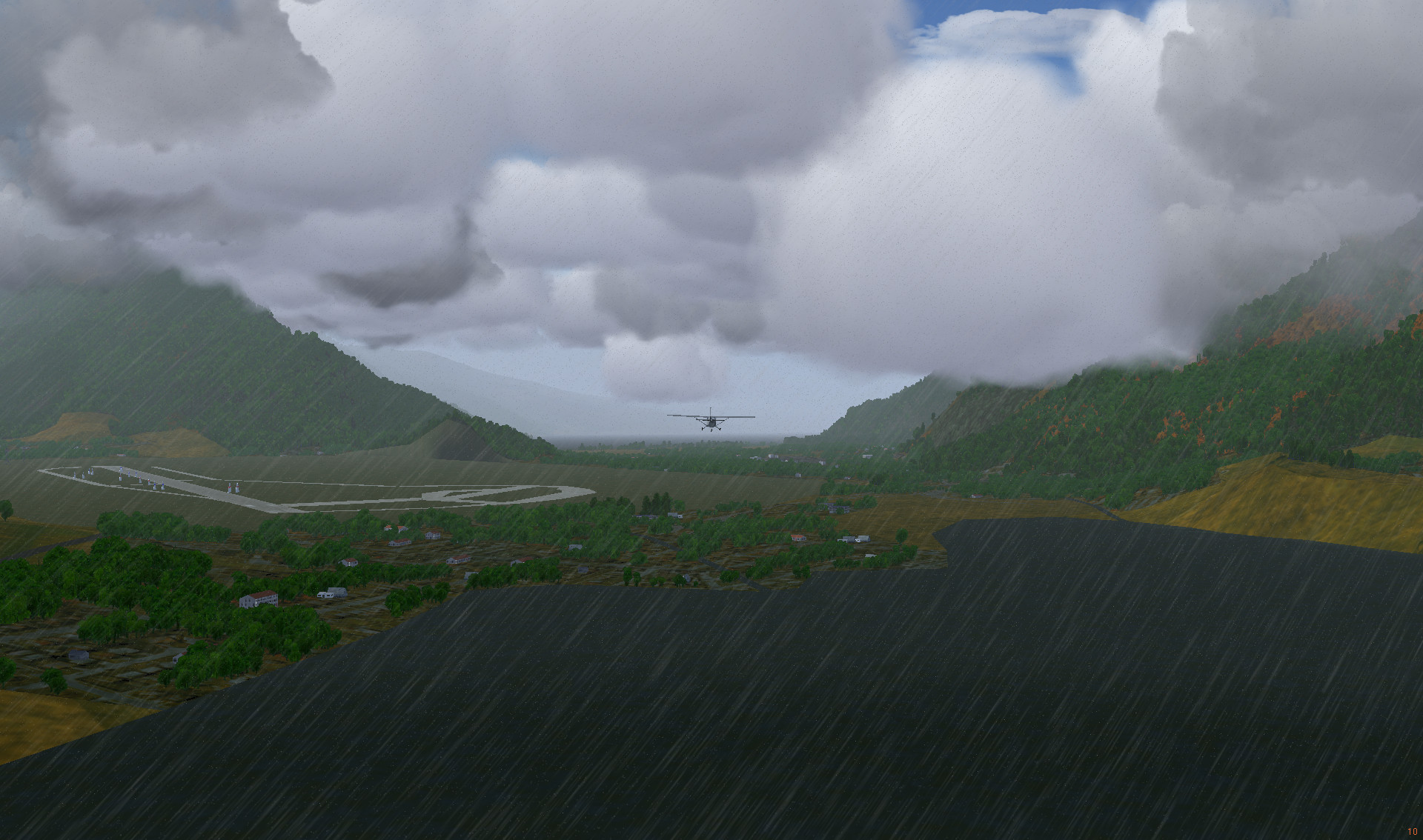
The journey continued from Meknes across Morocco to Marrakesh, where Menara Airport (GMMX) airport is situated. The flight begun at early dawn.
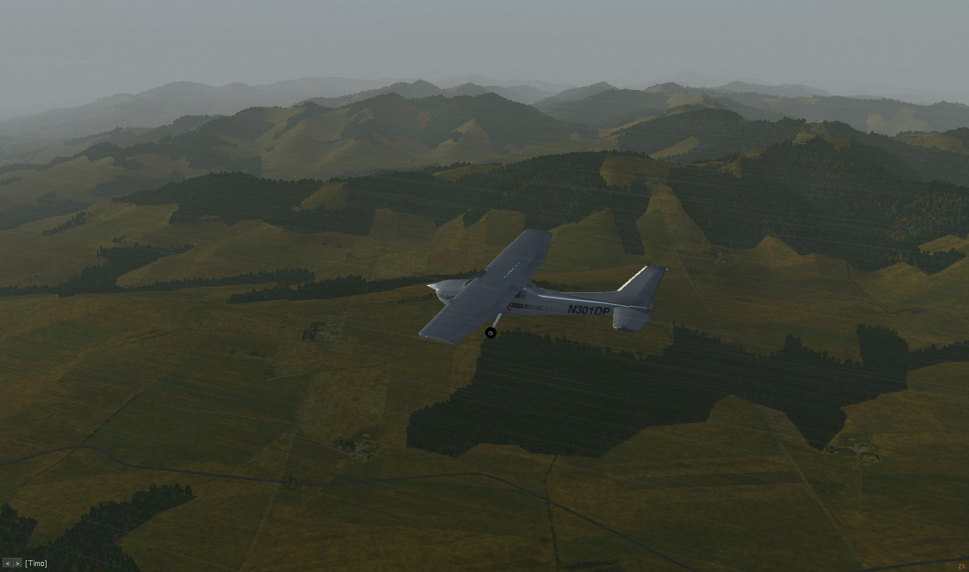
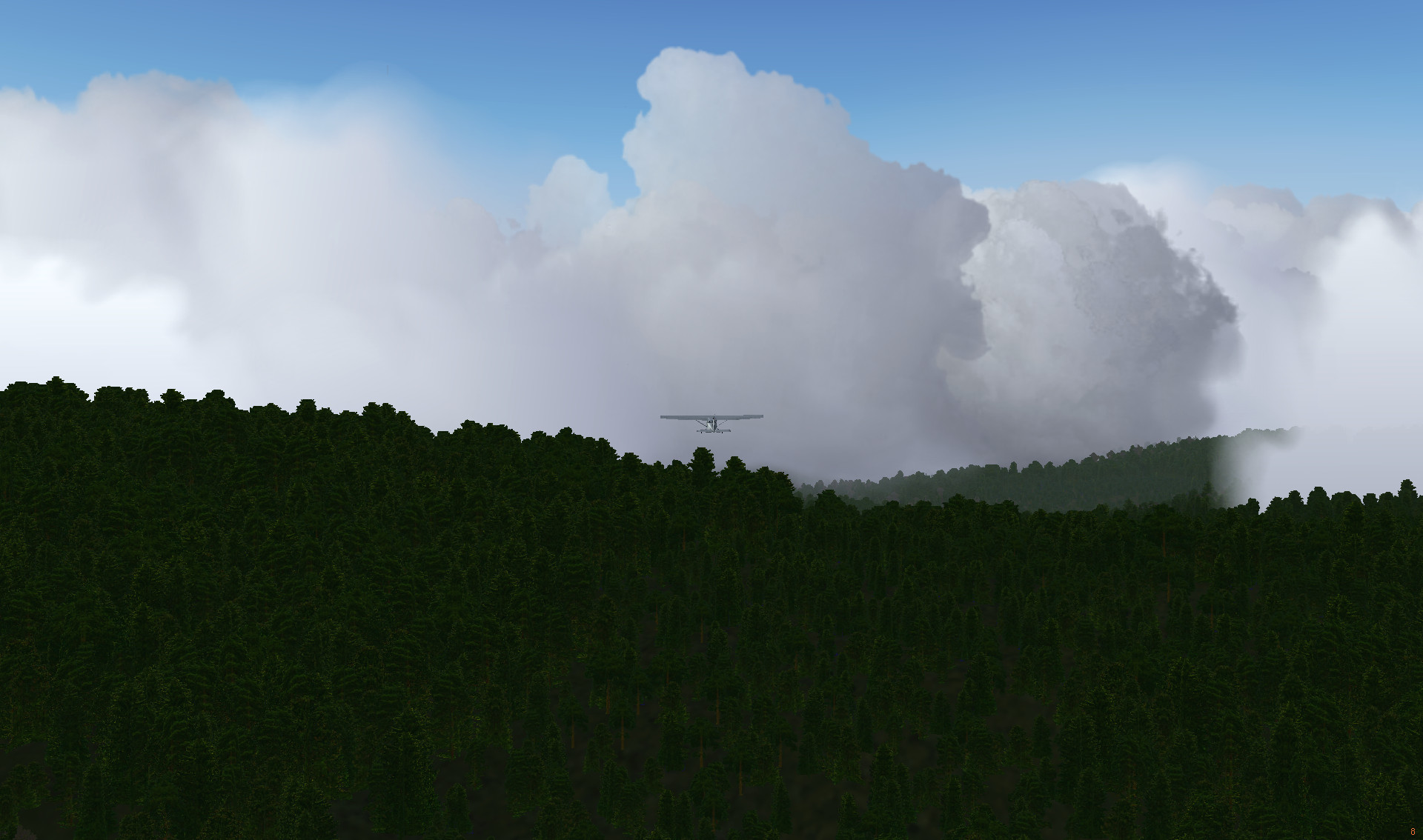
Recently someone updated FlightGear African terrain textures, that are to be included in the future release (3.6 or 3.8 I assume). As I don’t have time to wait for the release, I decided to copy the texture files onto the current 3.4 installation. You can see the result in the pictures. It’s nicer that the vegetation looks more Northern African than Central European.

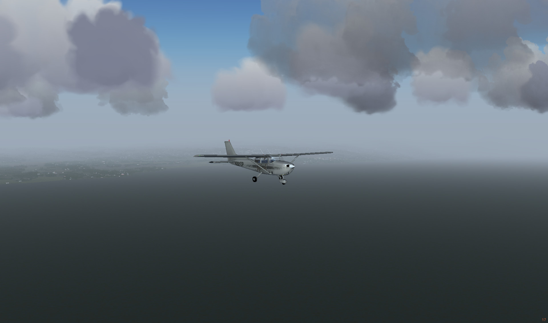
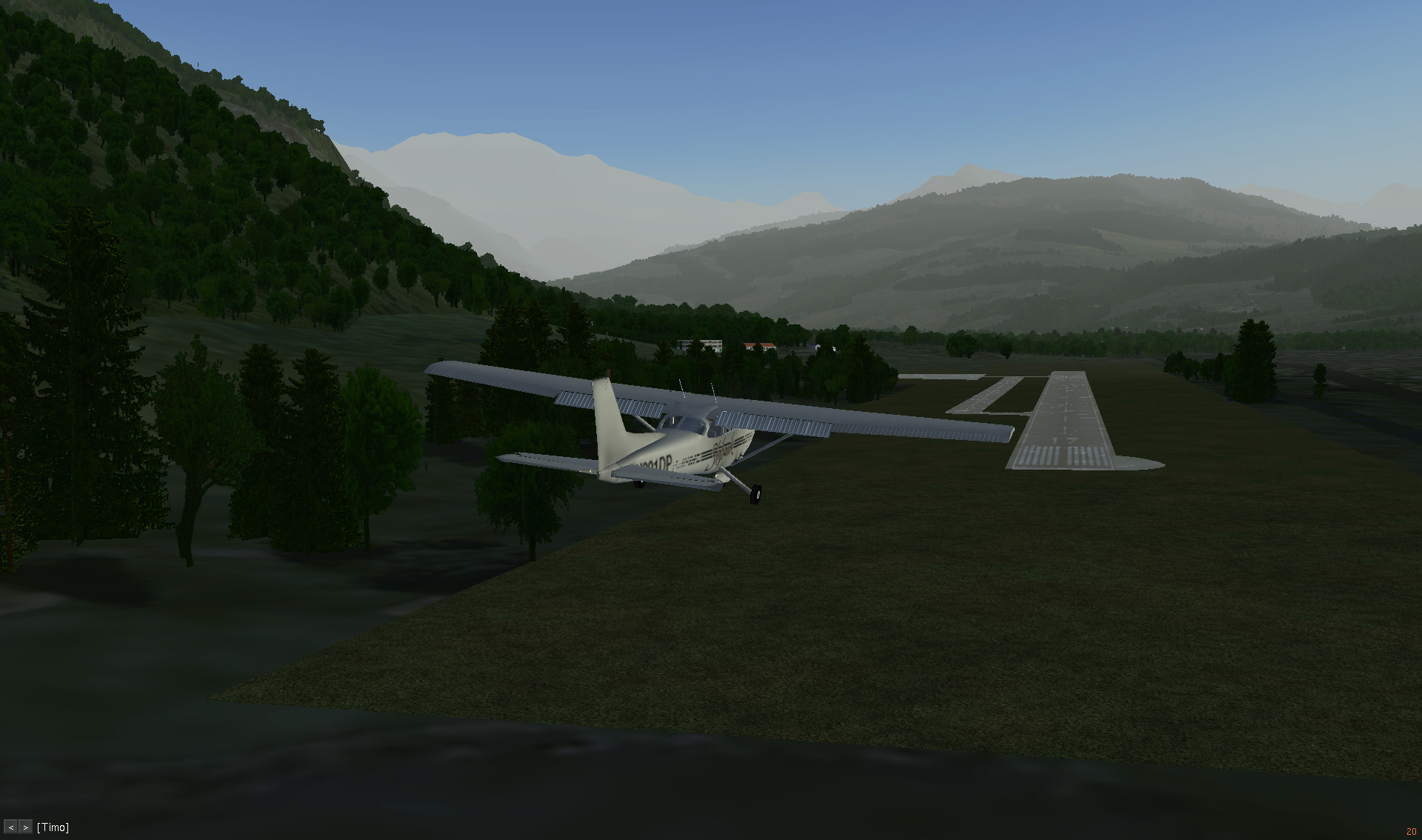
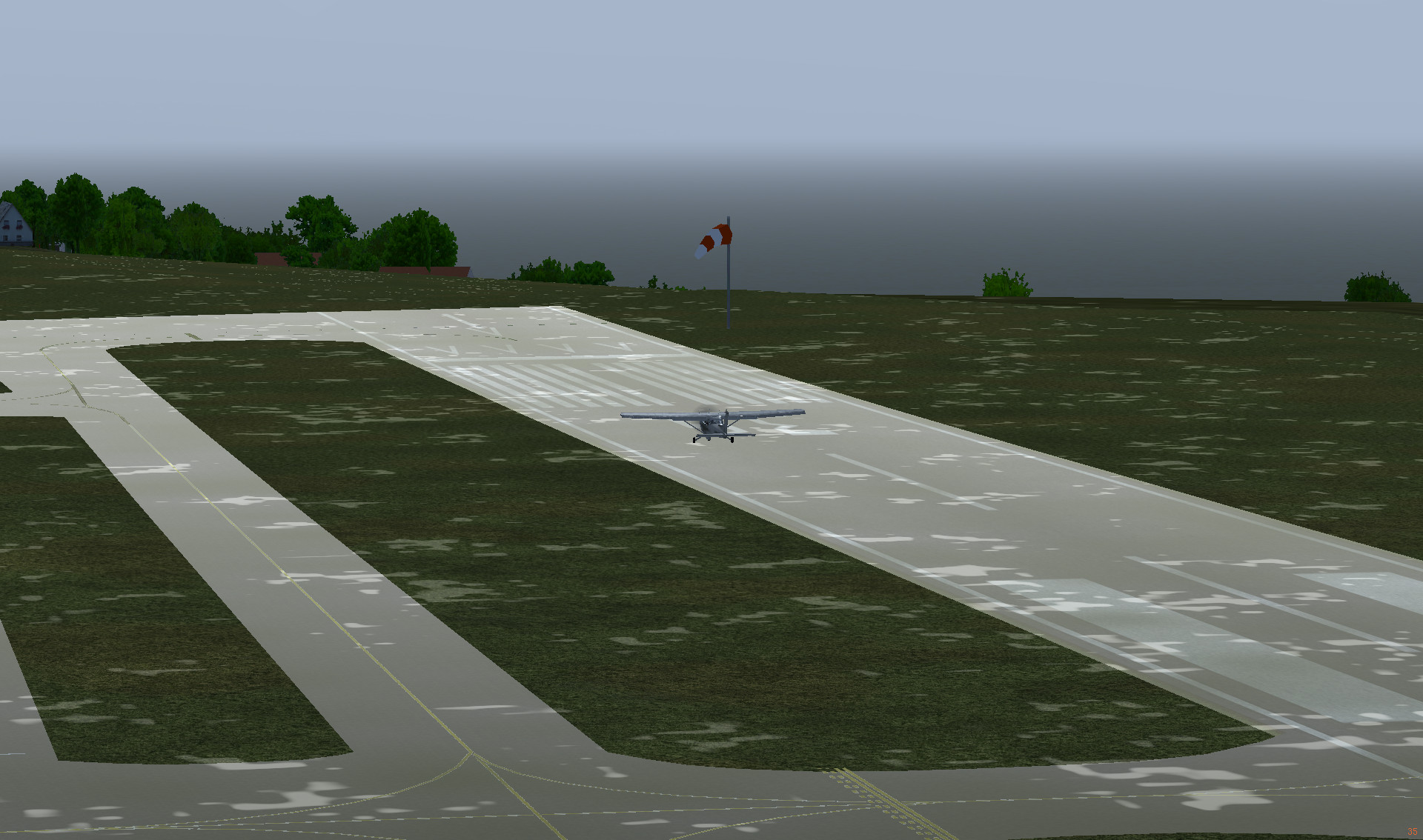
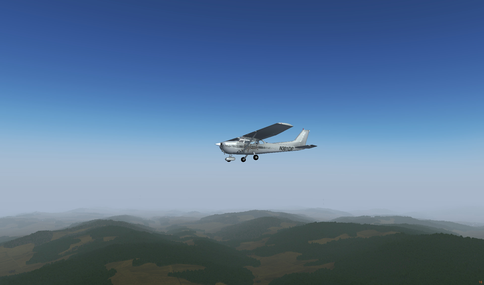
Departing from Meknès

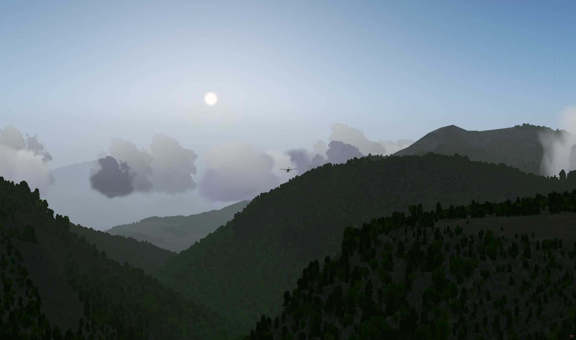
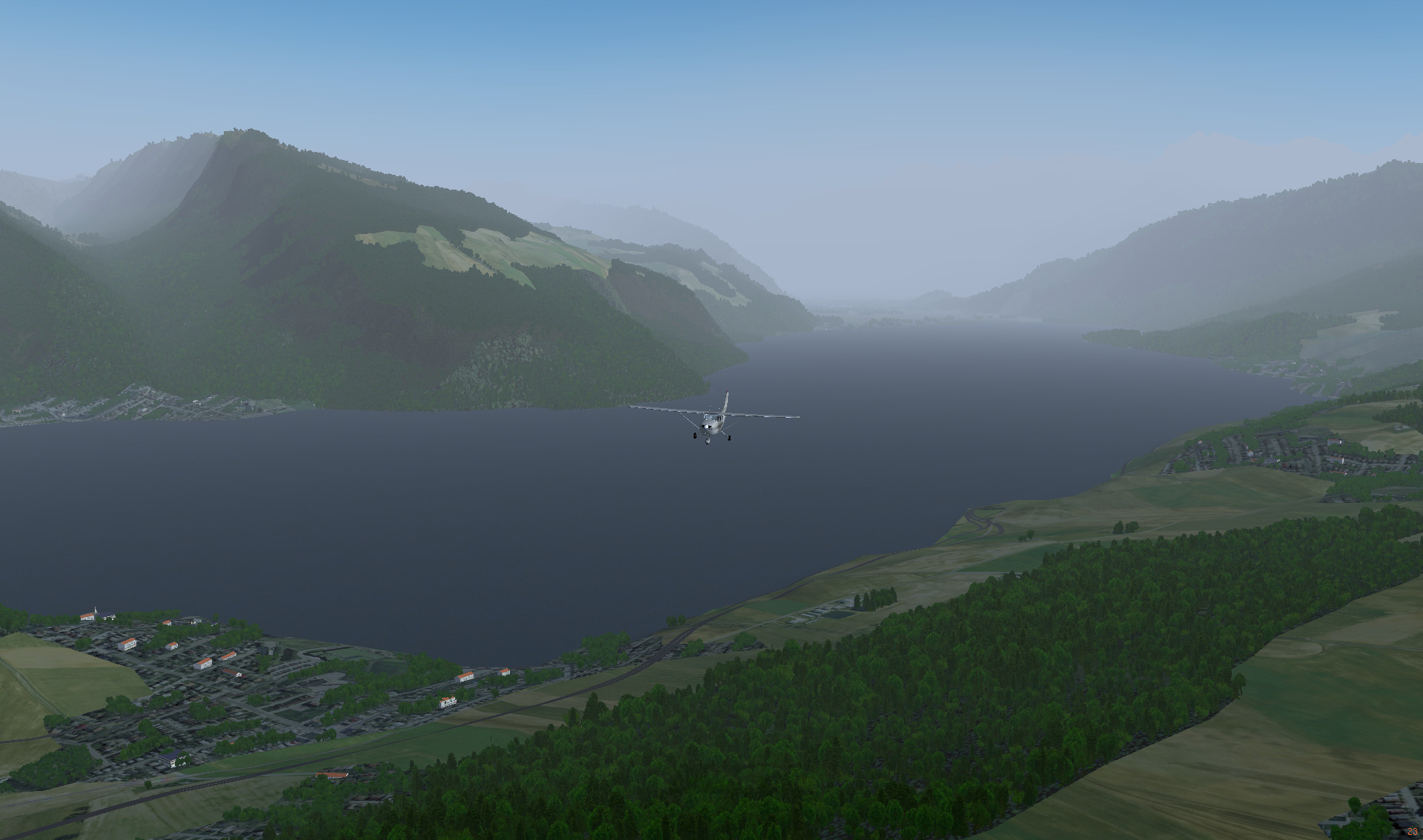
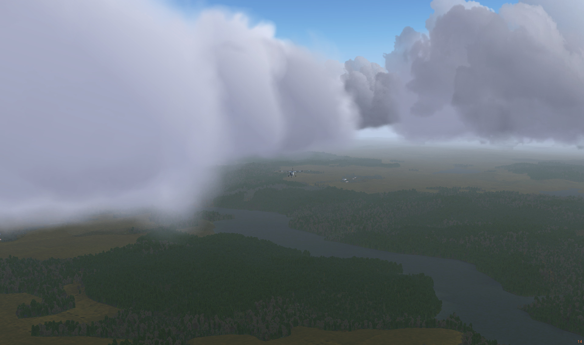
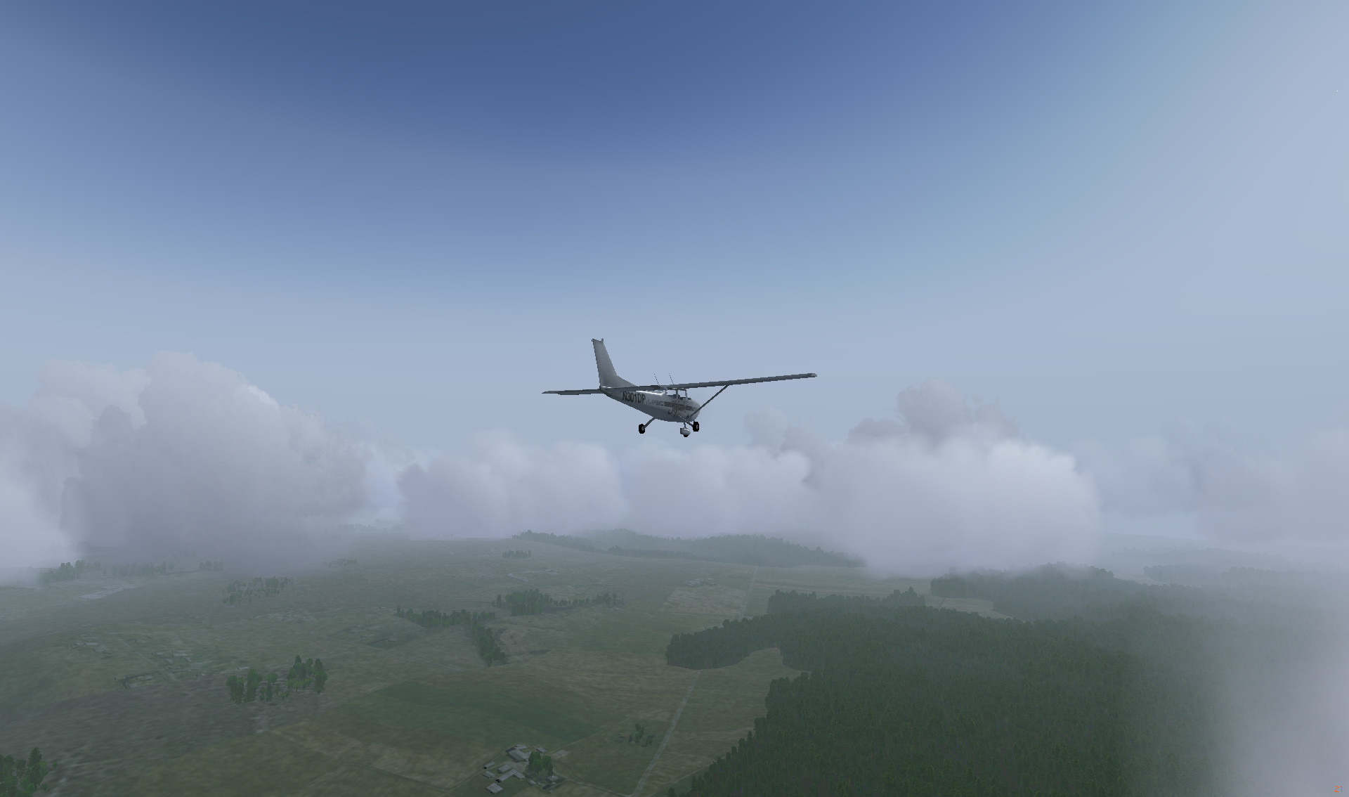
After sunrise

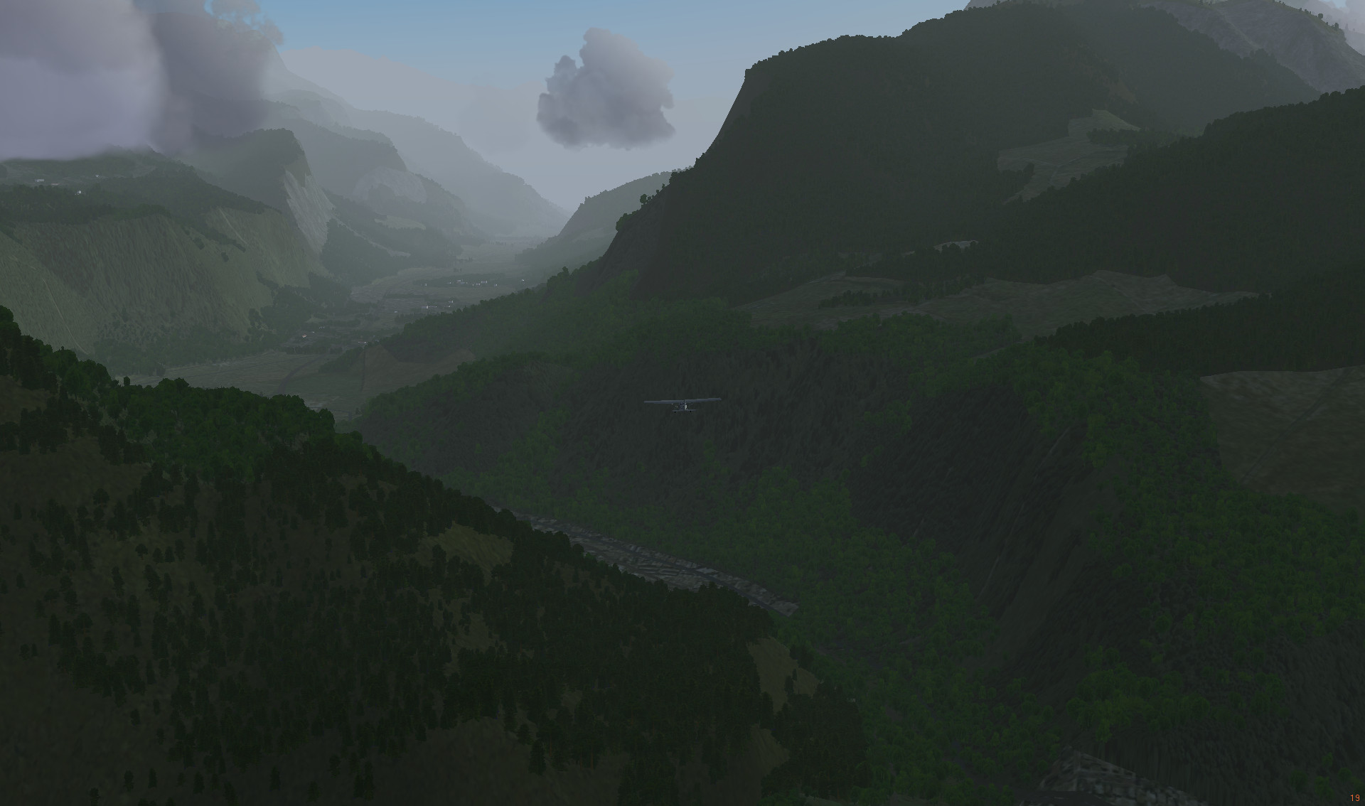
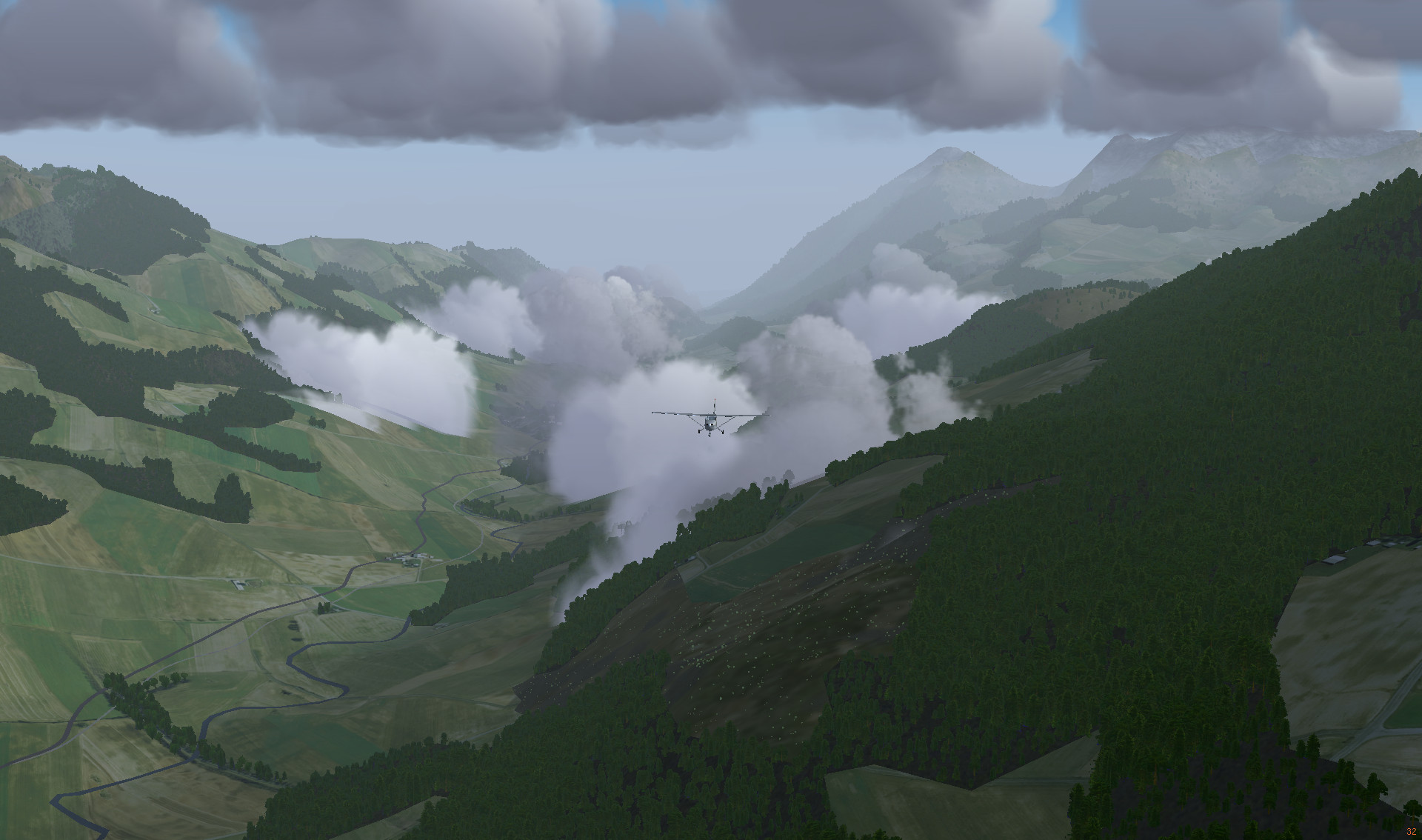
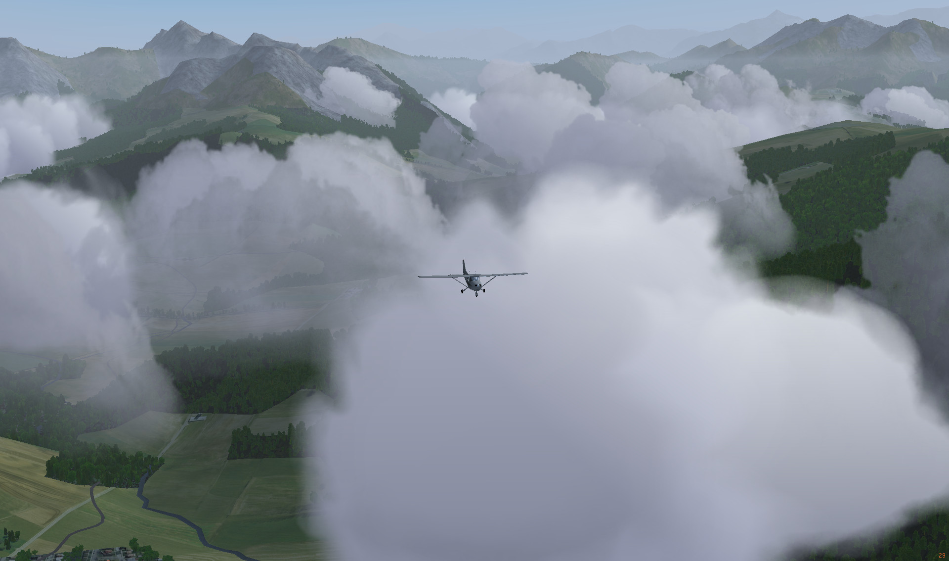
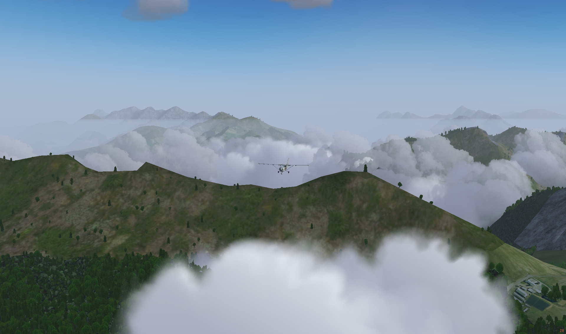
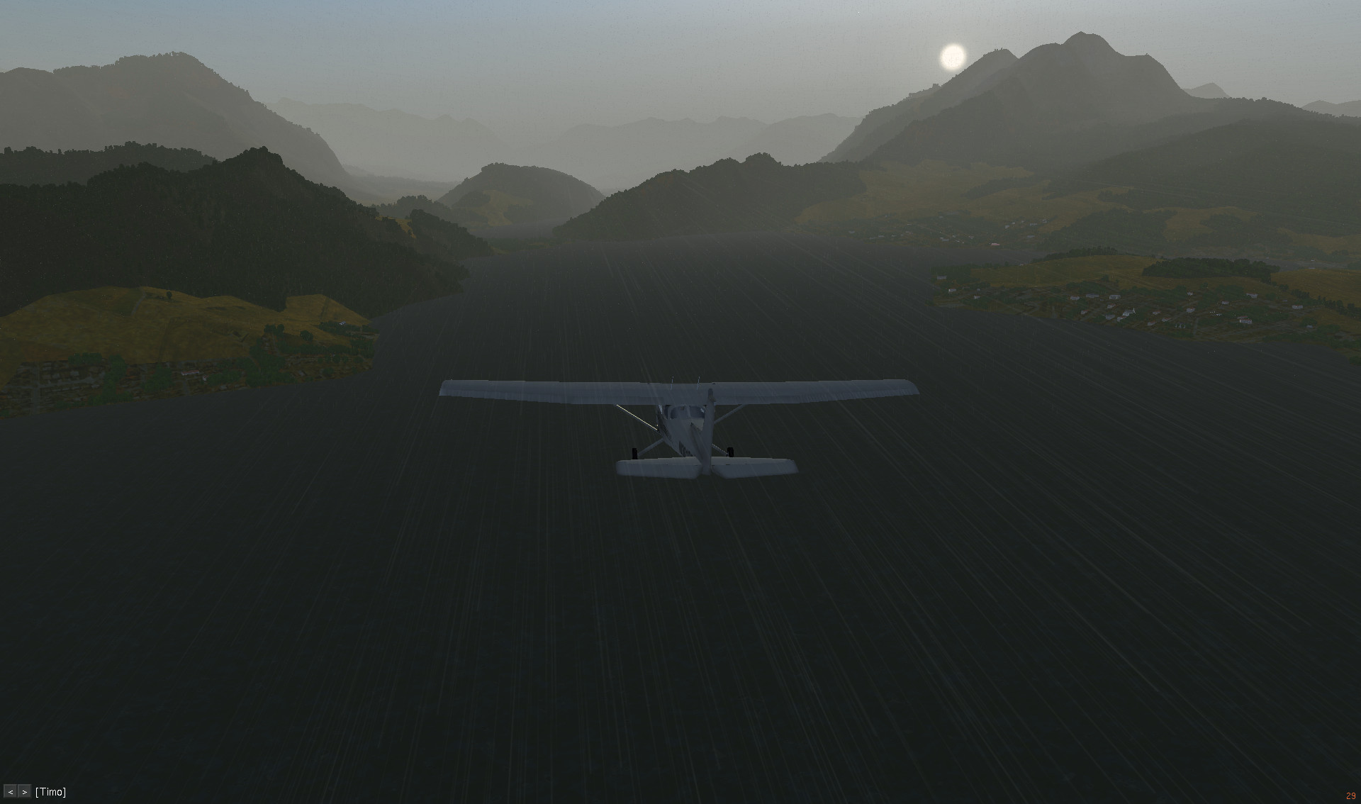
The hills near the Atlas Mountains

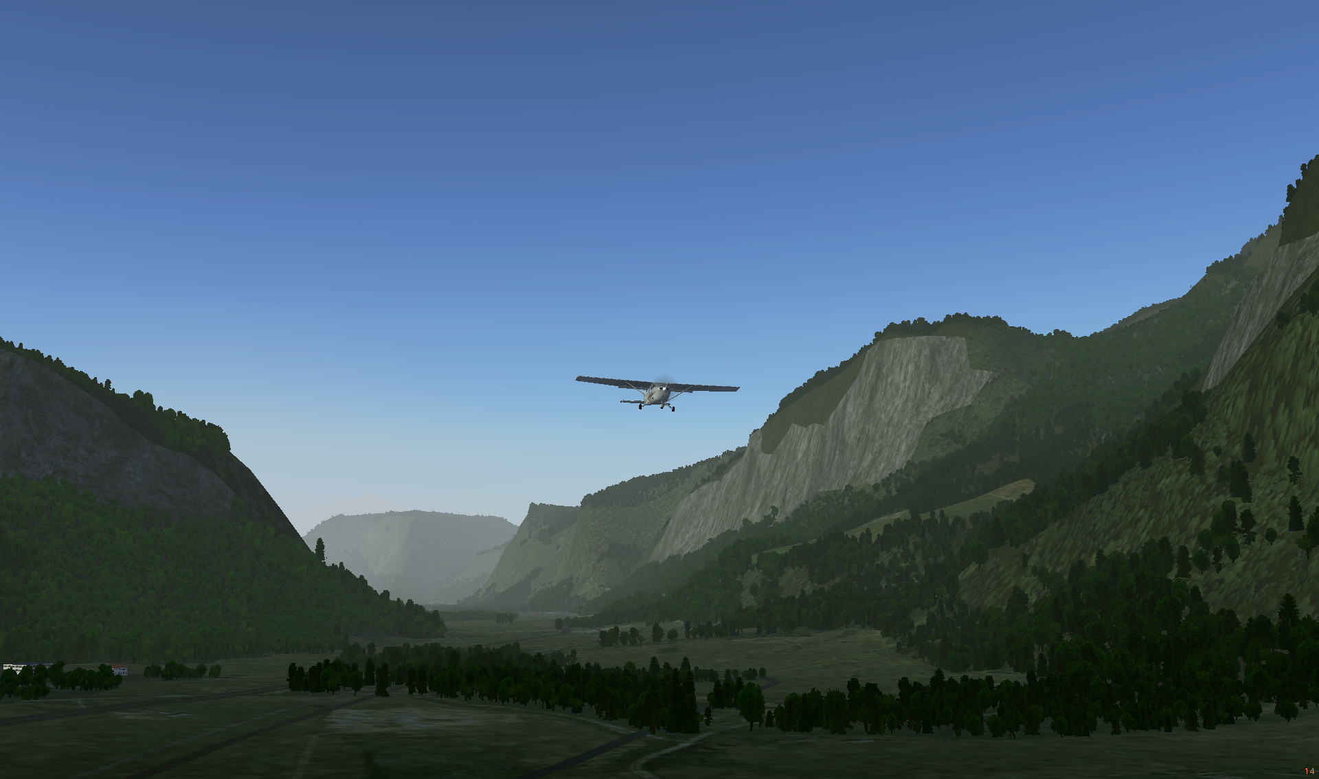
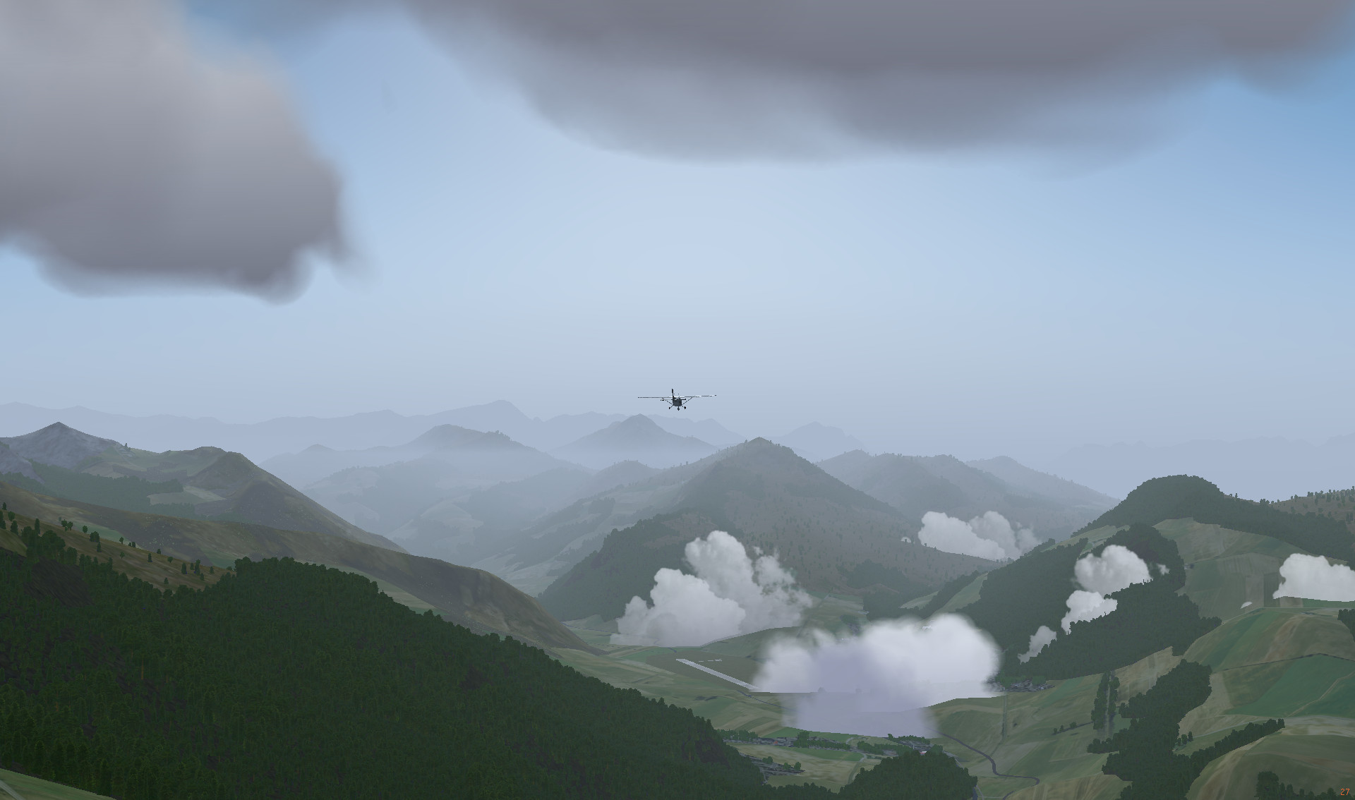
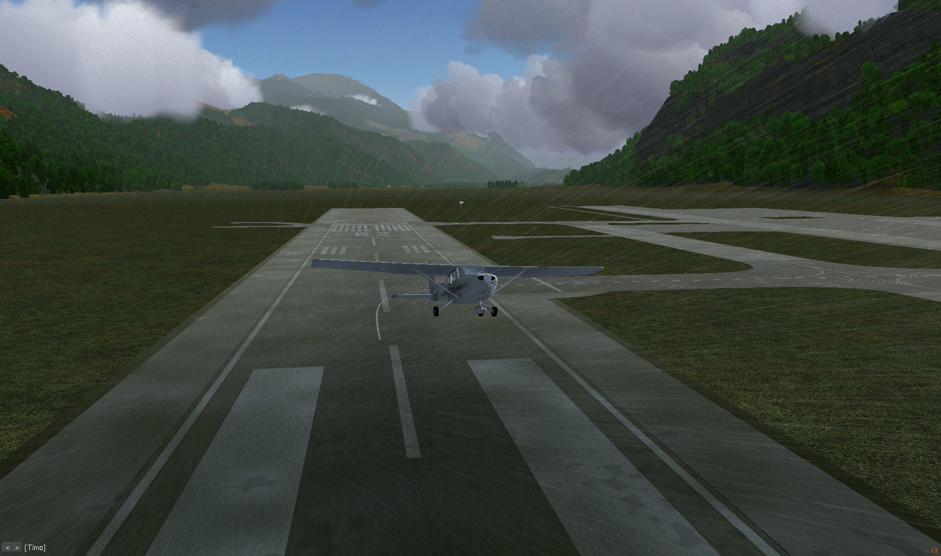
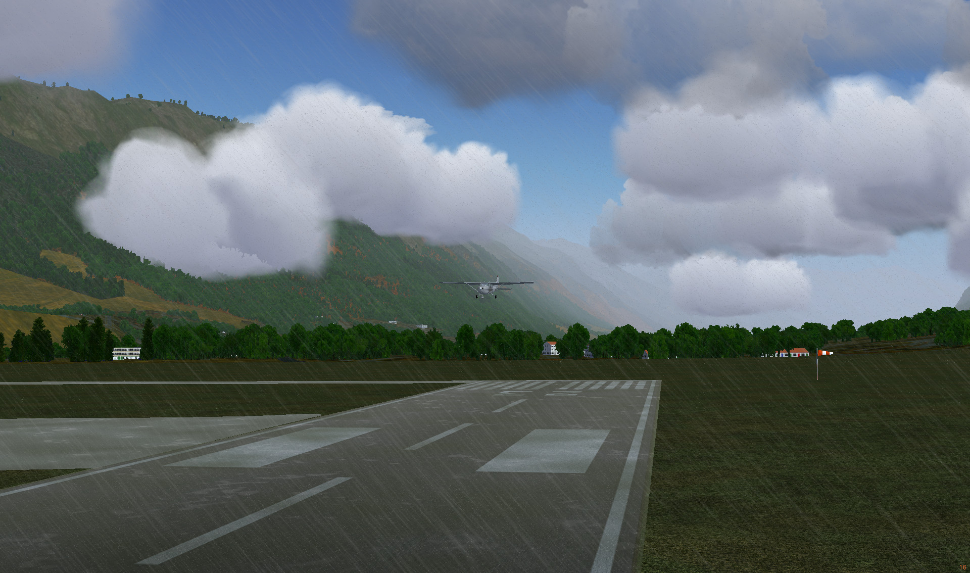
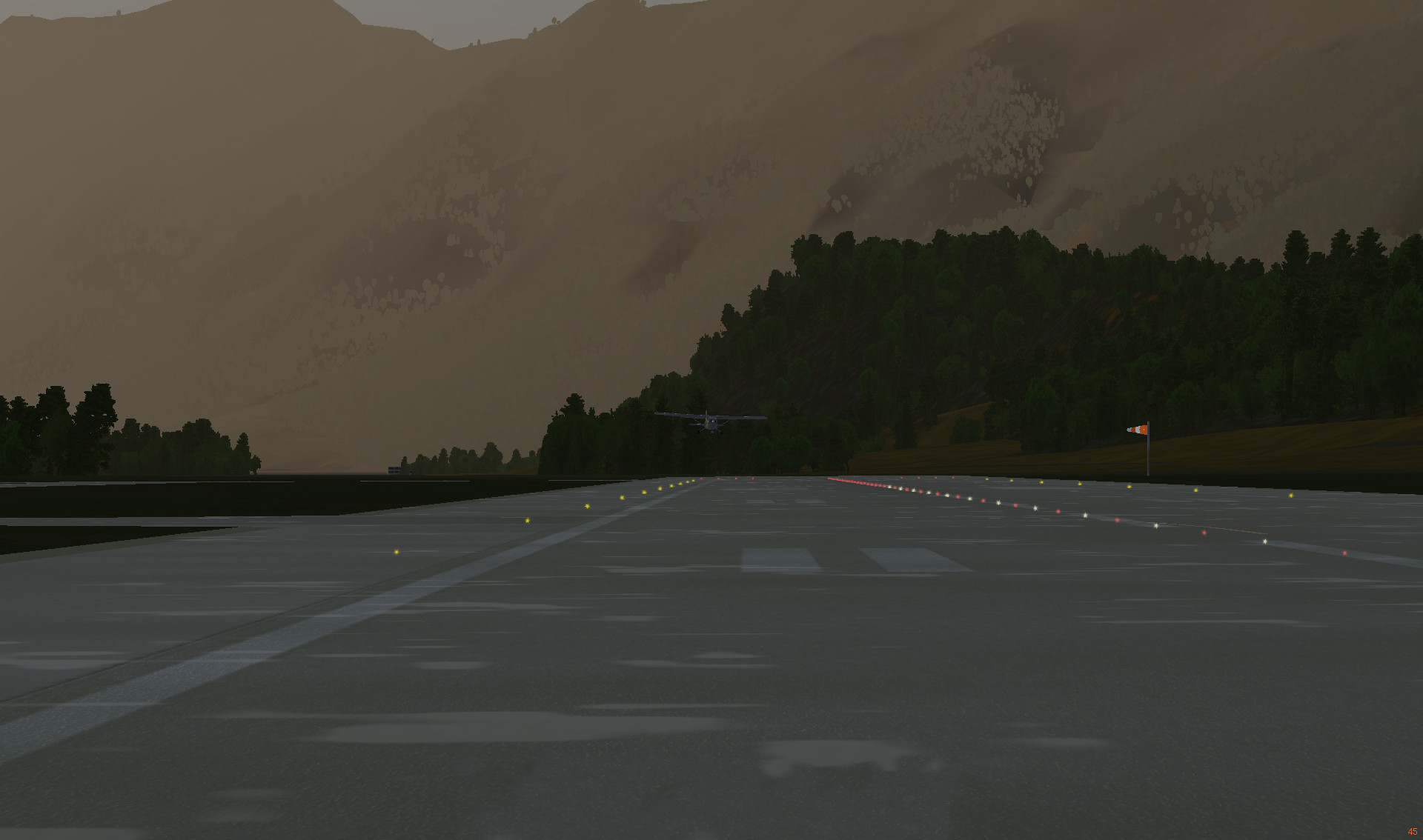
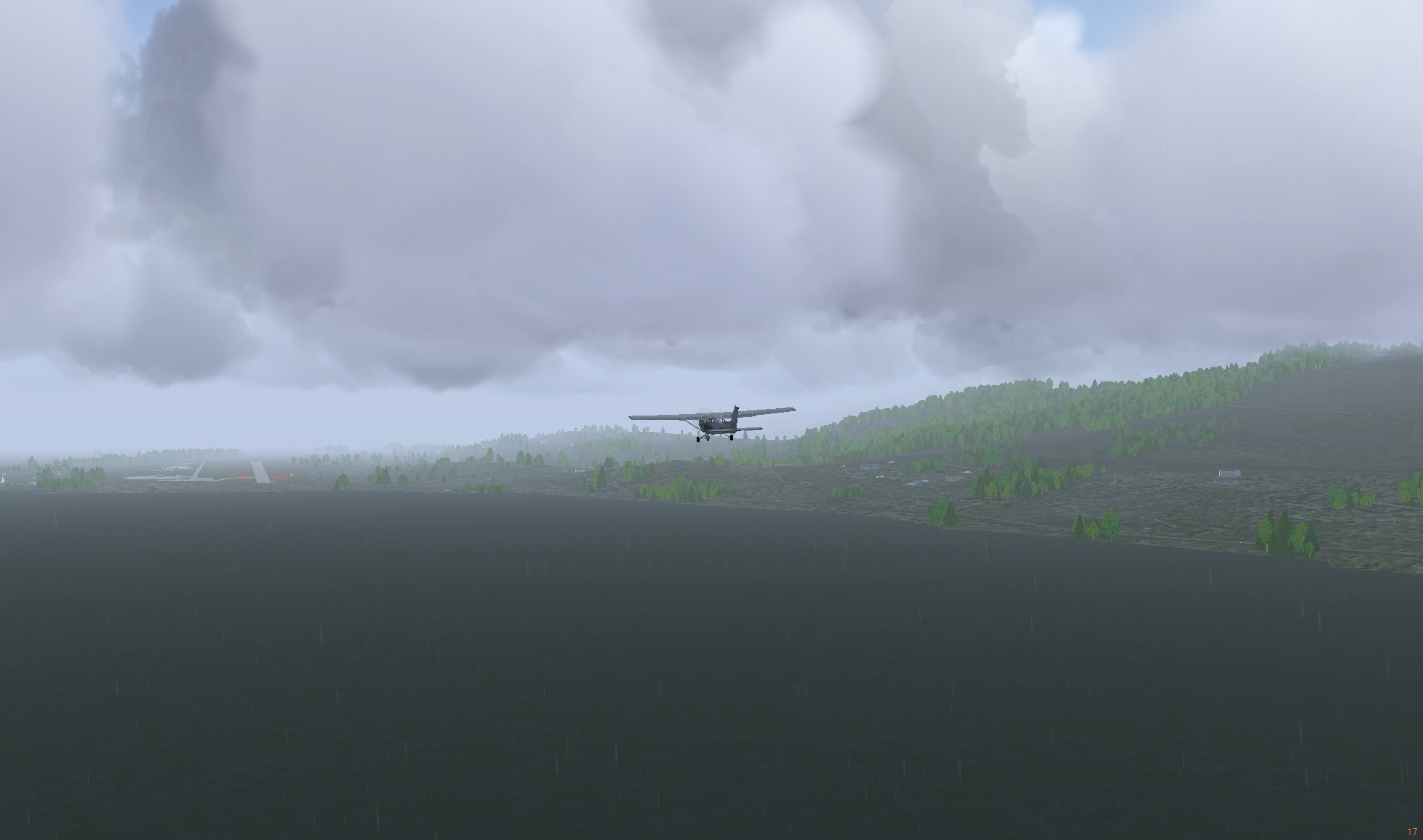
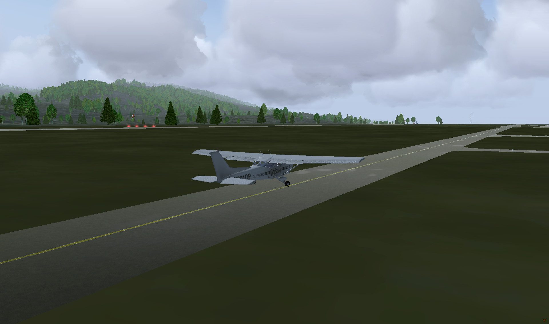
Preparing to land on the Marrakesh Menara Airport
It is the third largest city in Morocco after Casablanca and Rabat, and lies near the foothills of the snow capped Atlas Mountains and a few hours away from the foot of the Sahara Desert. Its location and contrasting landscape has made it an enviable destination in Morocco.
Marrakesh, Wikivoyage