It was time to continue the journey from Łódź towards the Alps. The next destination was Bechyně Airport (LKBC), which is a small place in southwest Czech Republic. As VOR radio navigation has its challenges because of the sparse network, I decided to try something different, to get to the destination. Flightgear has an integrated a GPS-based navigation to the simulation and it allows you to set NAV 1 to point at the desired location. I’ll write more about it, when I understand the auto pilot and heading offset better.

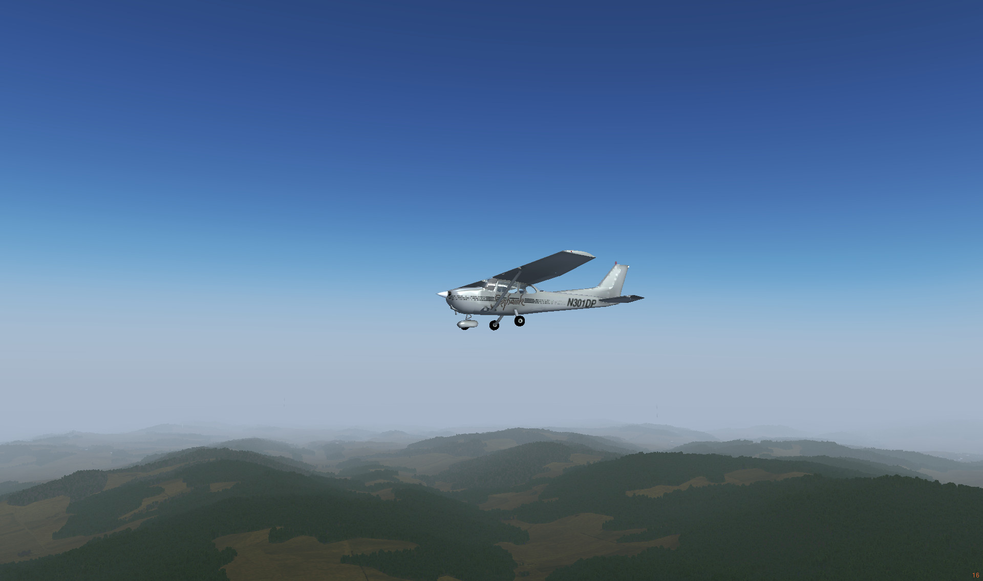
Flying over Poland after the takeoff
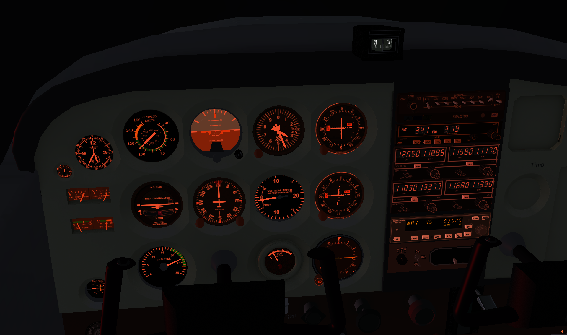
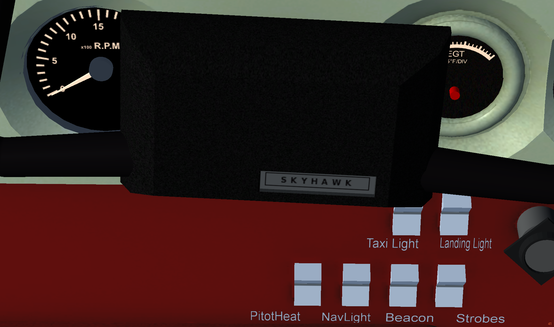
It’s easy to switch on the panel lights (press L key several times), but far more challenging to find active navigation, landing and taxi lights. You can switch them on using the properties browser (press / key and choose /controls/lights in the hierarchy), but there are also visible switches available under the yoke. The challenge is, they are unlit and you have to push the yoke in, to make them visible.

Light switches under the yoke
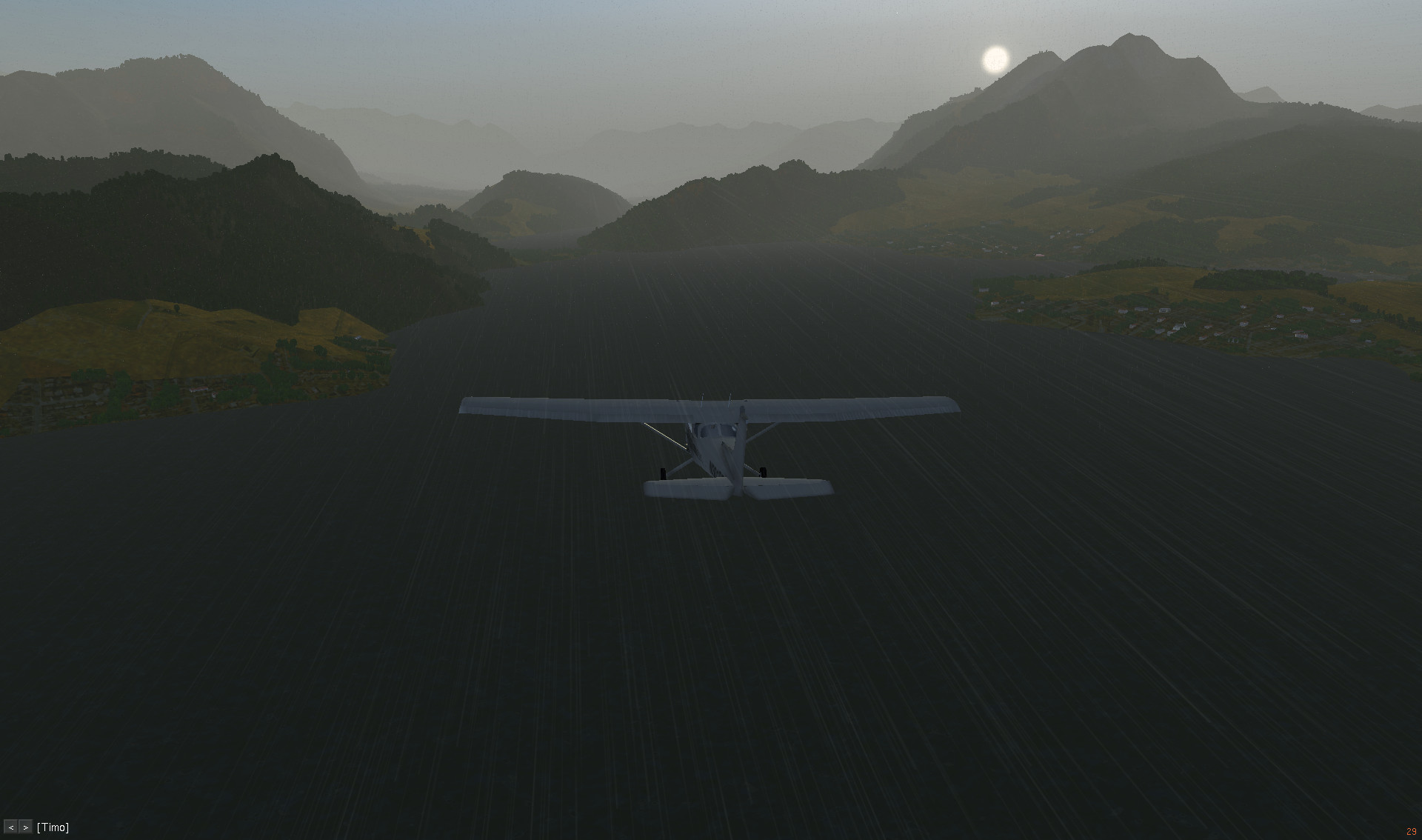
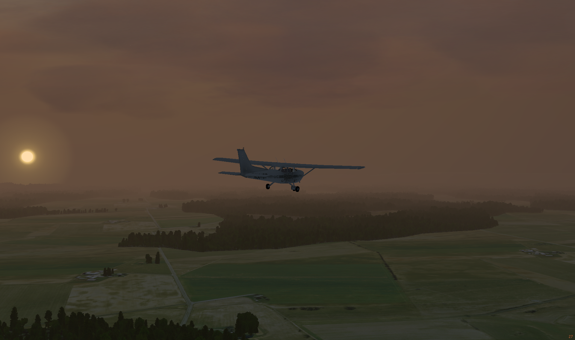
Take off was a relatively straight-forward operation and soon Cessna was flying in the cloudy morning sky.

Dawn
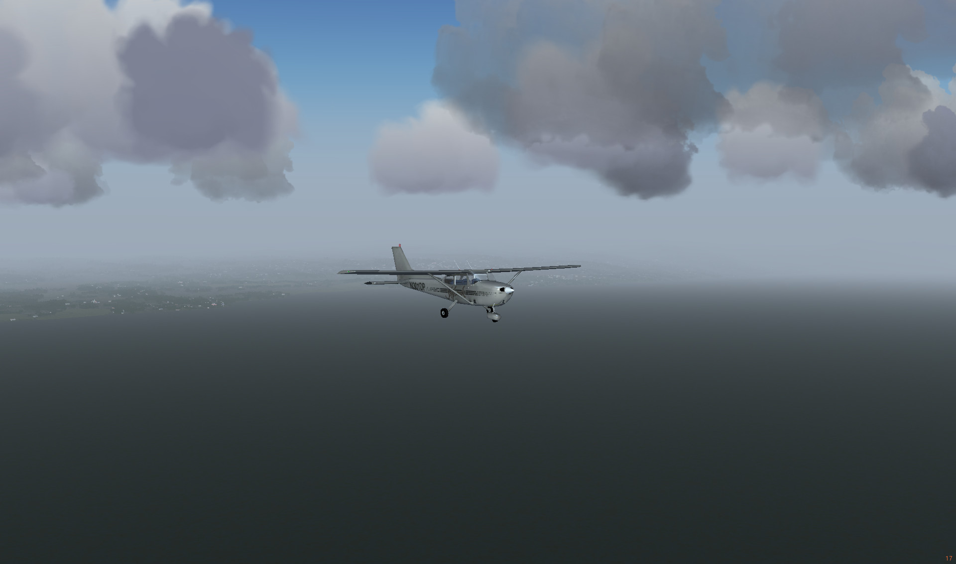
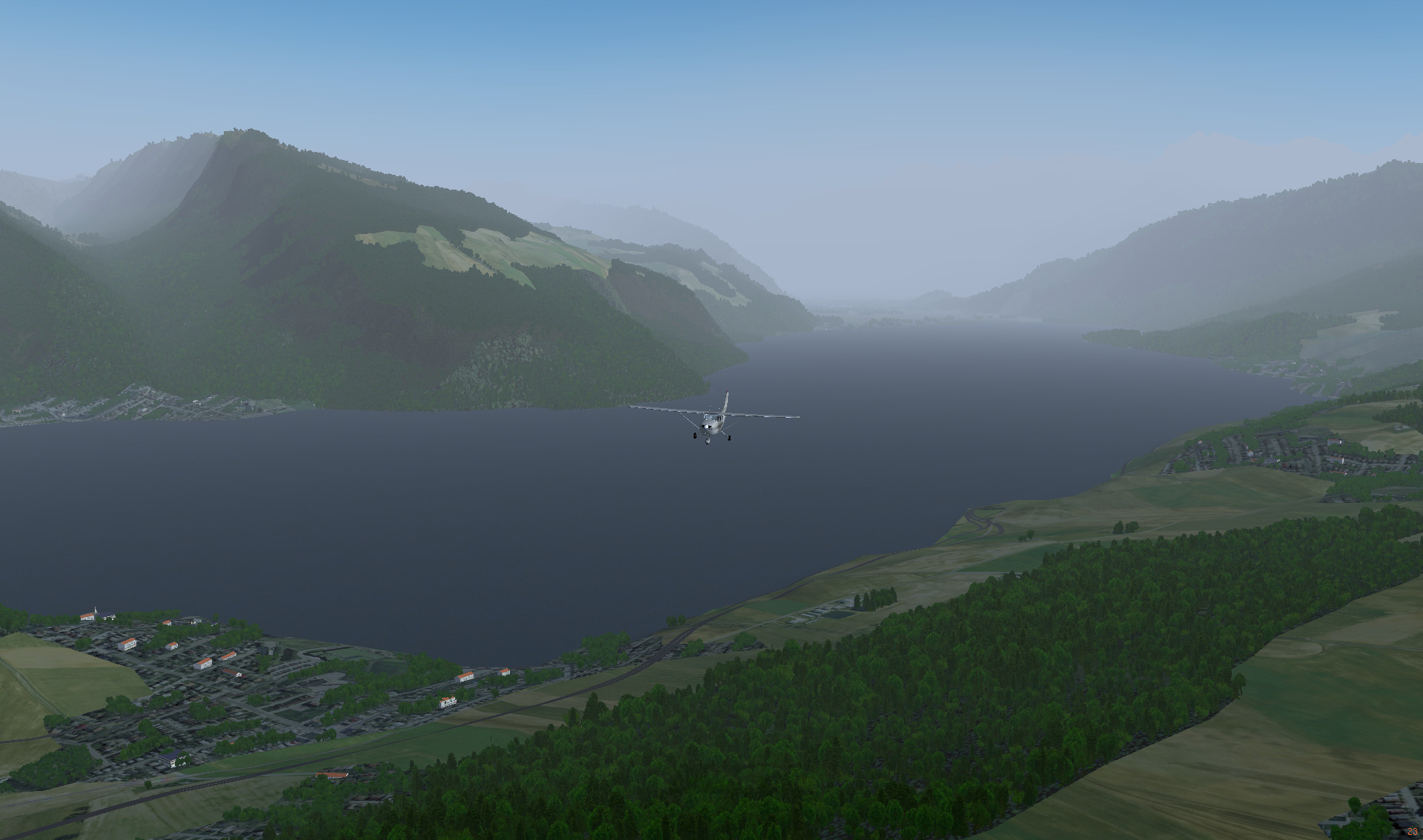
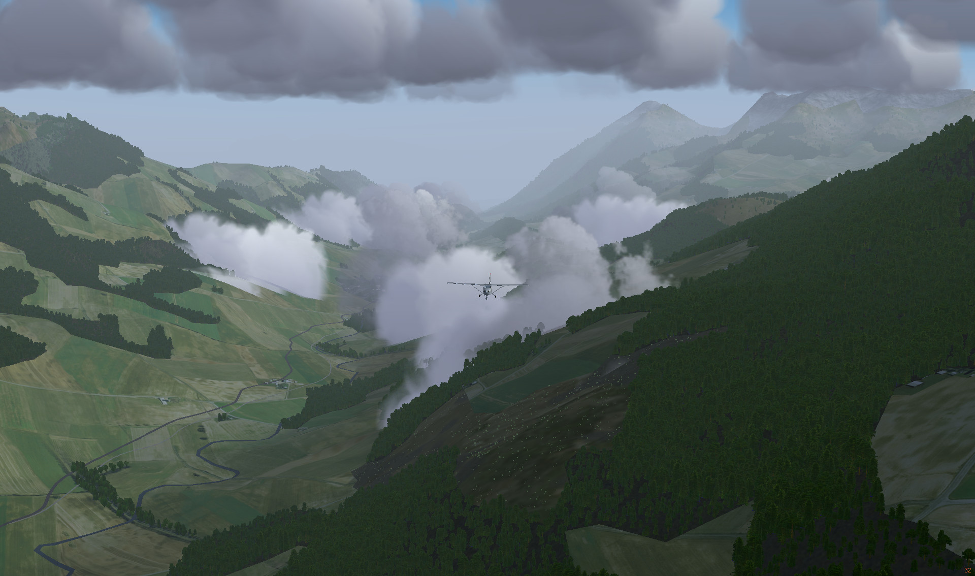
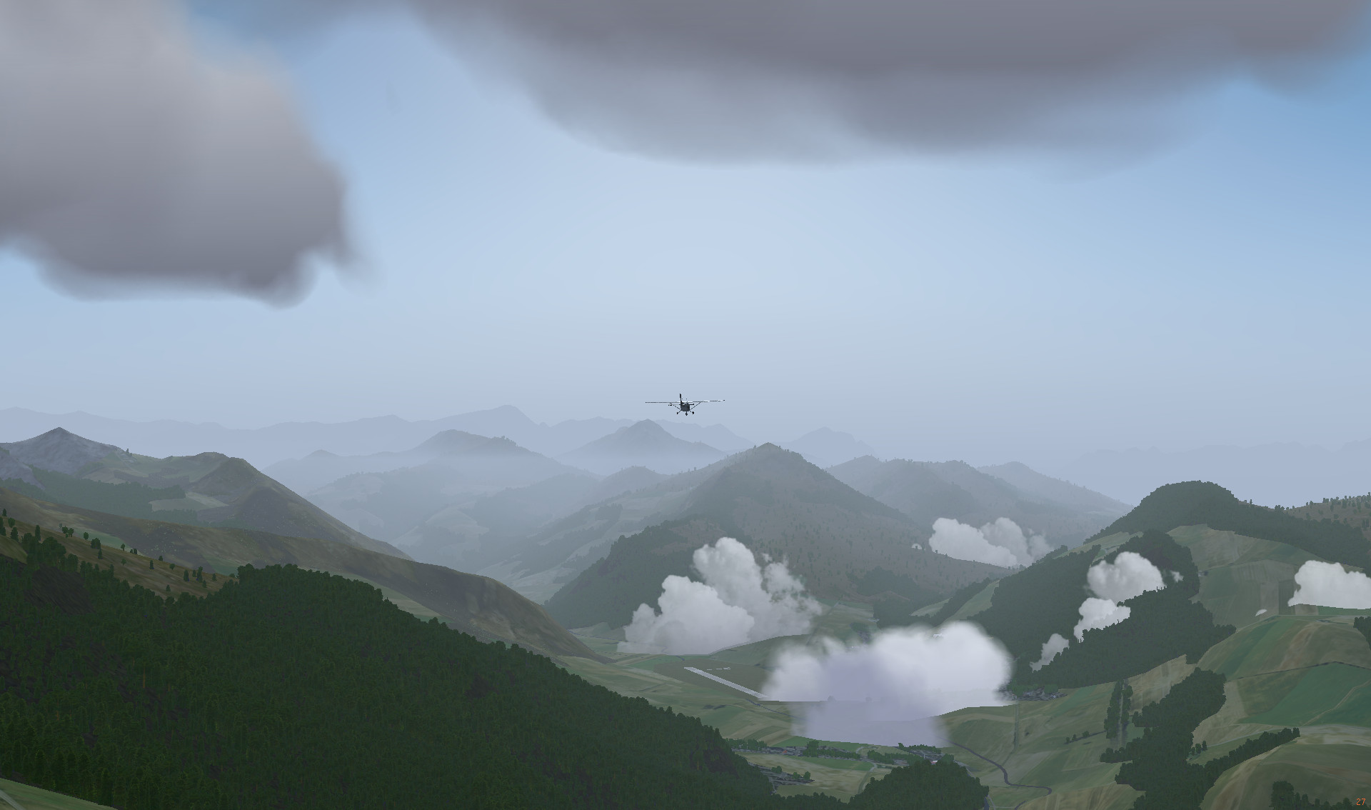
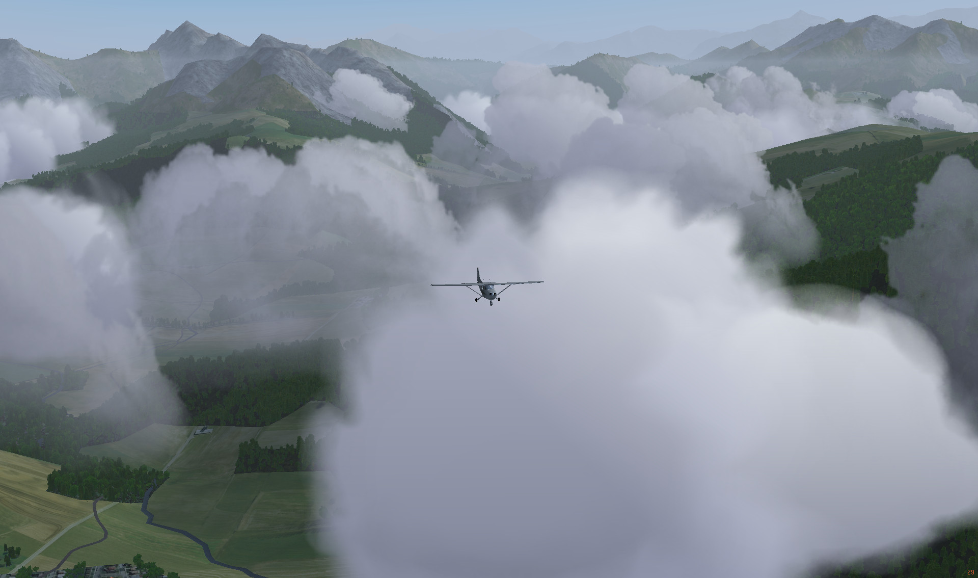
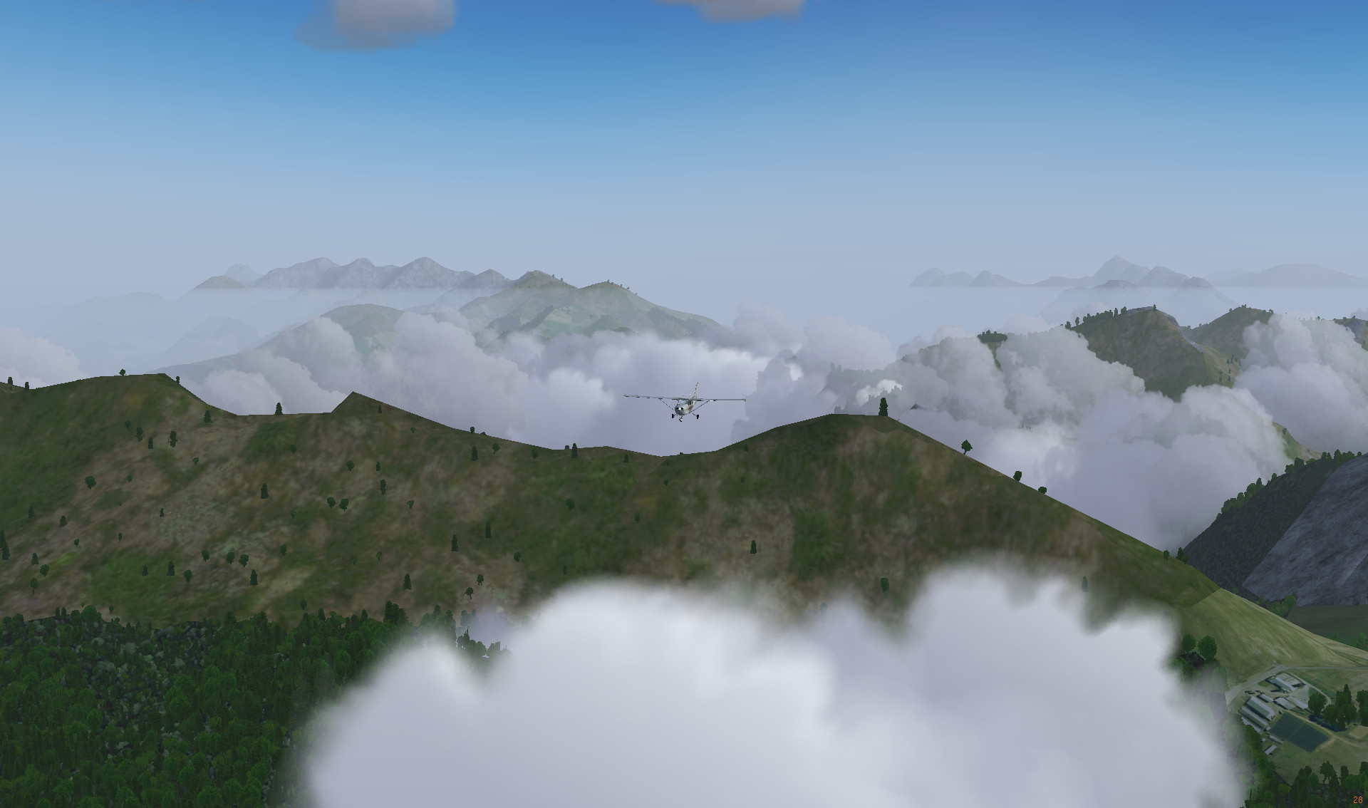
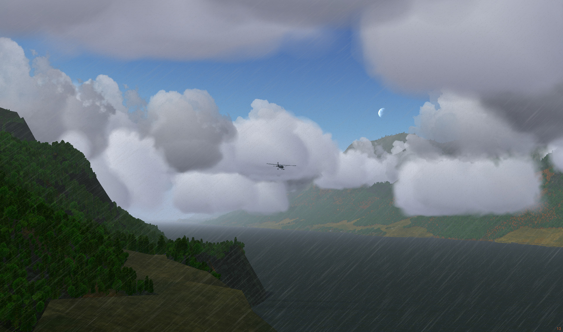
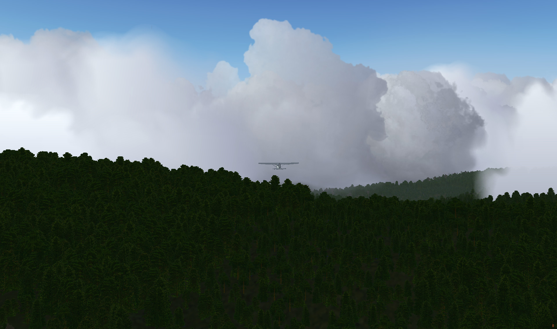
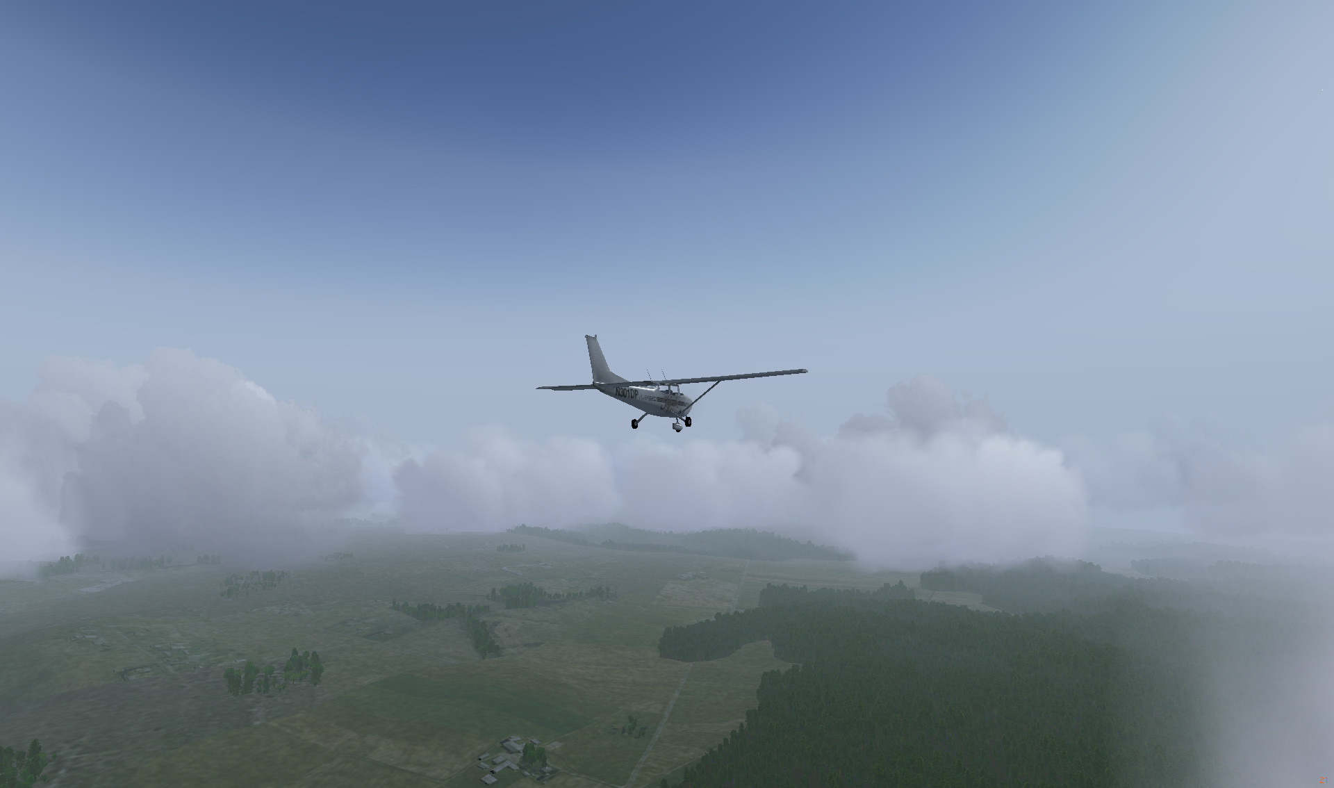
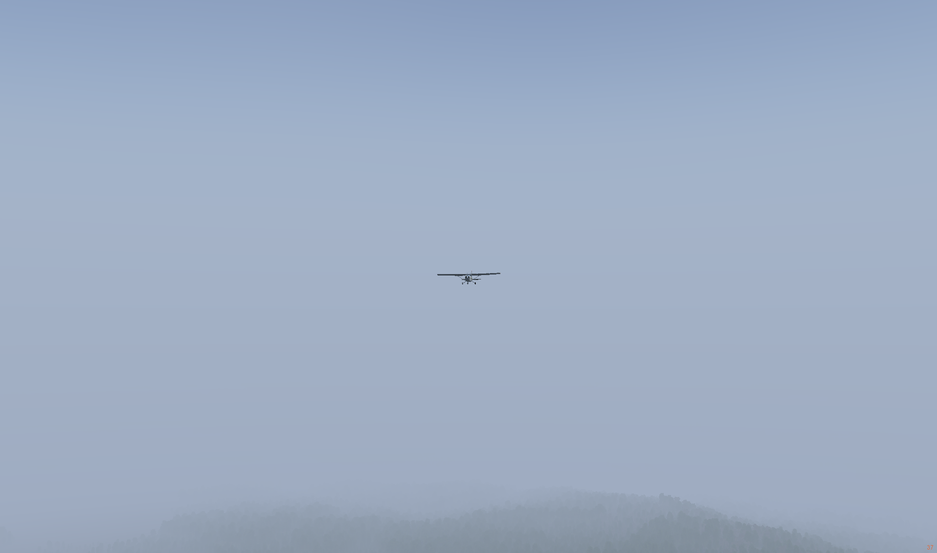
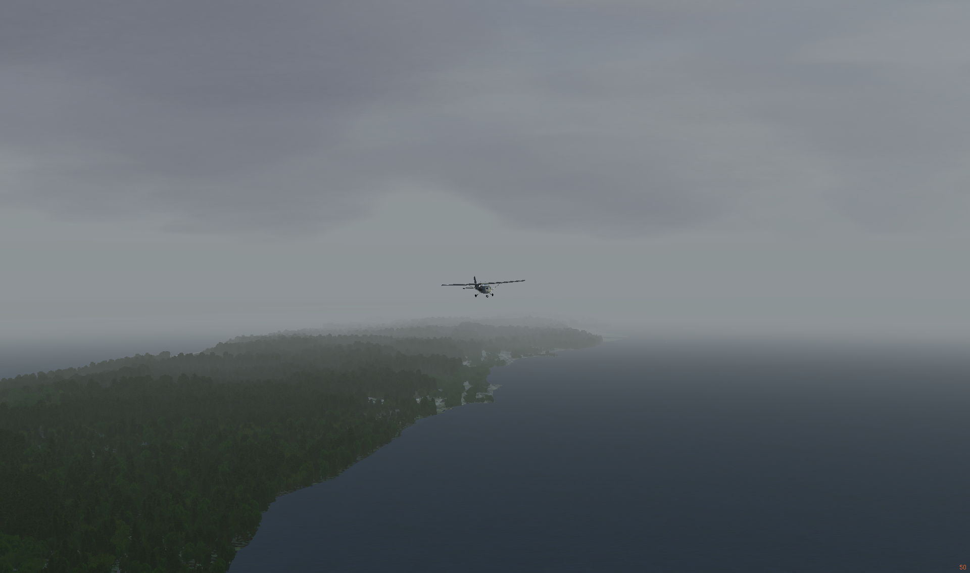
The flight itself was quite smooth. Weather was cloudy and foggy, that made visibility minimal, but those were acceptable conditions for flying with an autopilot. I was away from the keyboard most of the time anyway.

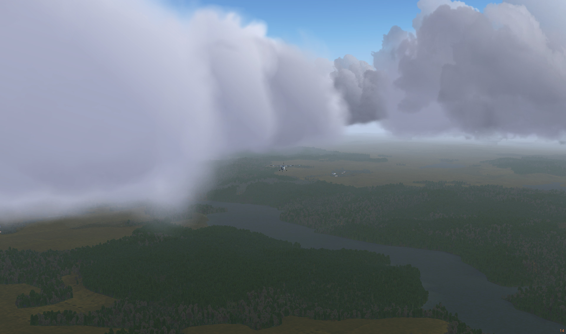
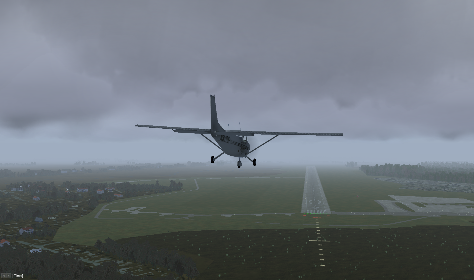
In the foggy sky of Czech Republic
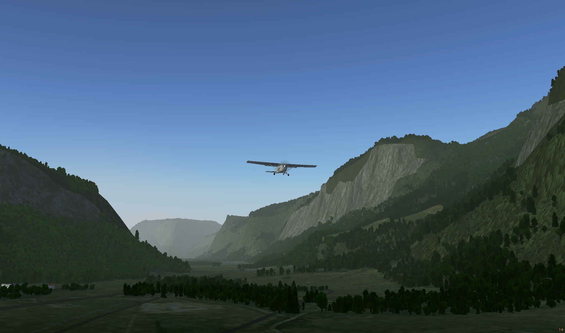
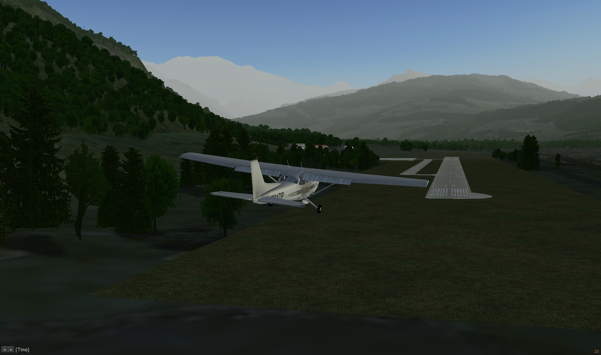
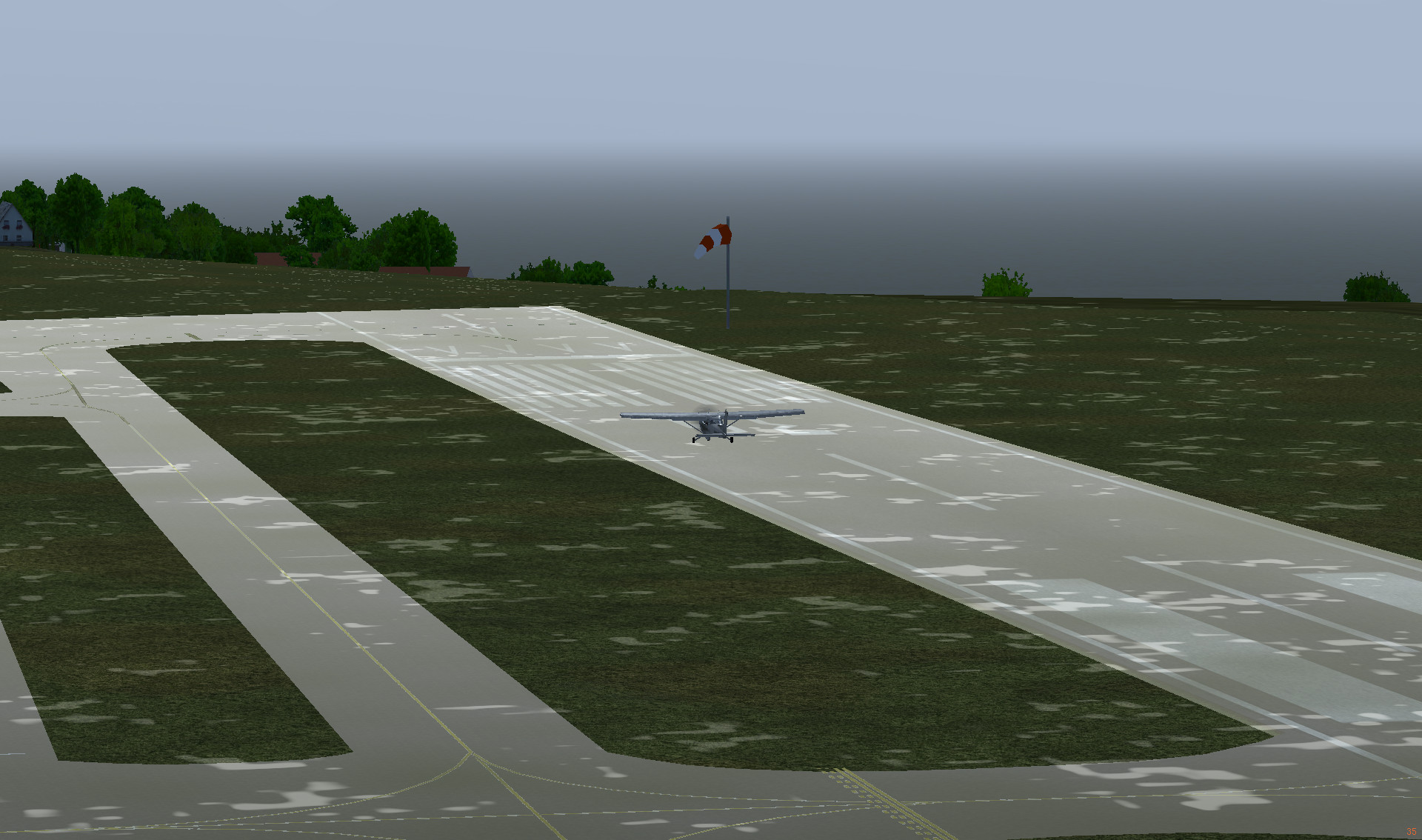
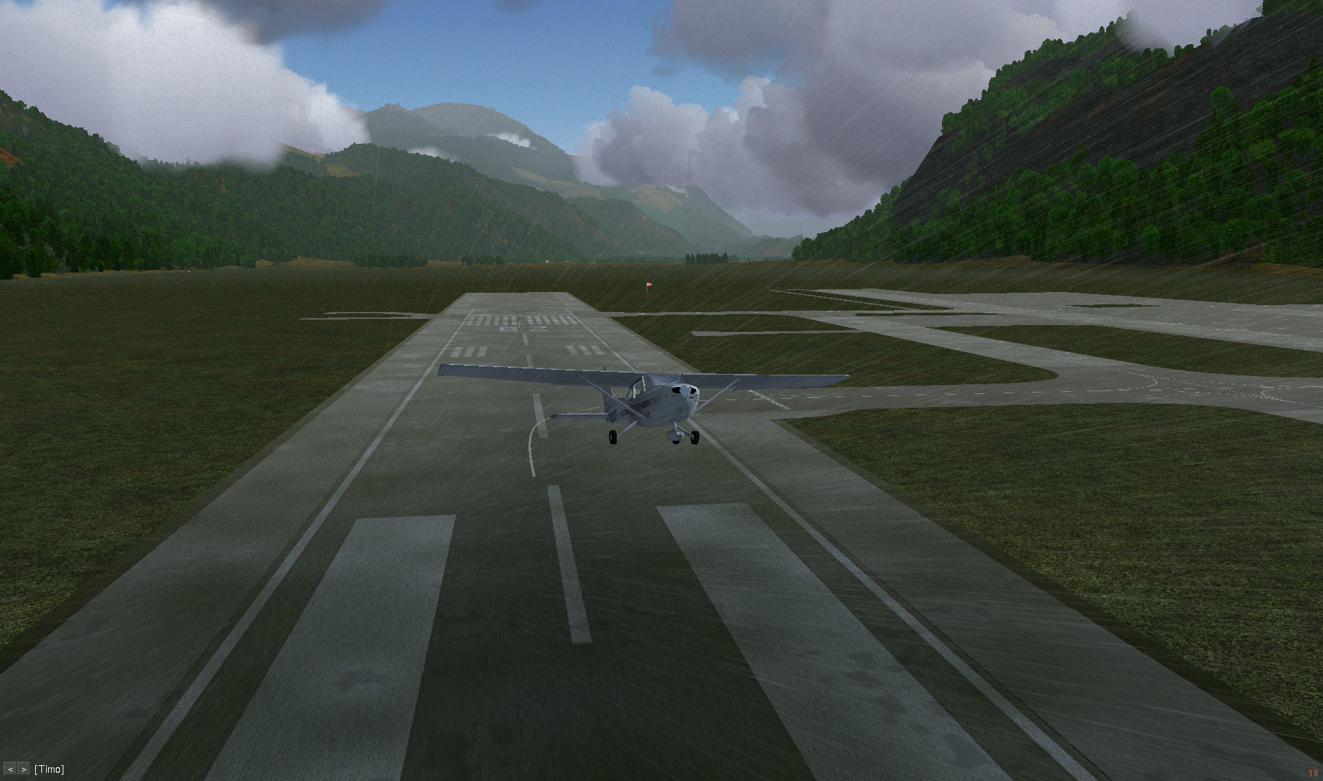
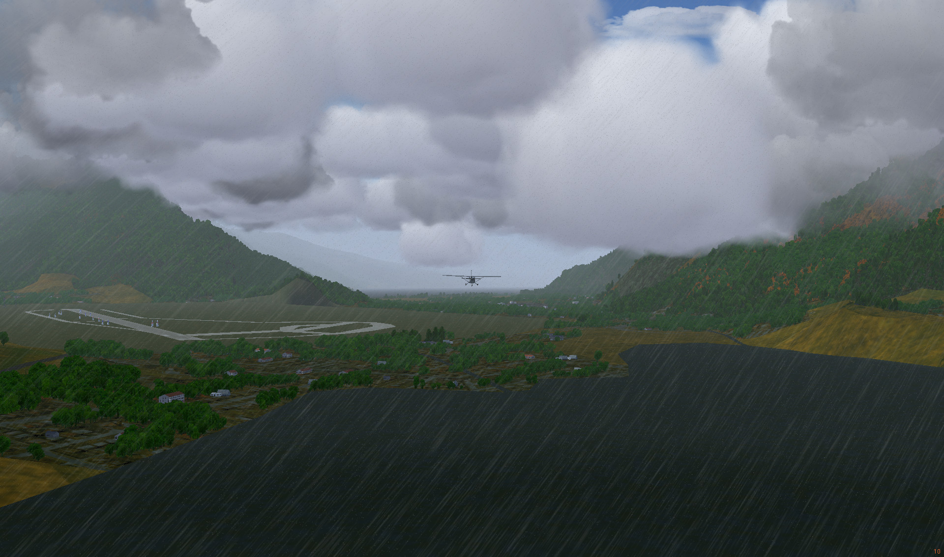
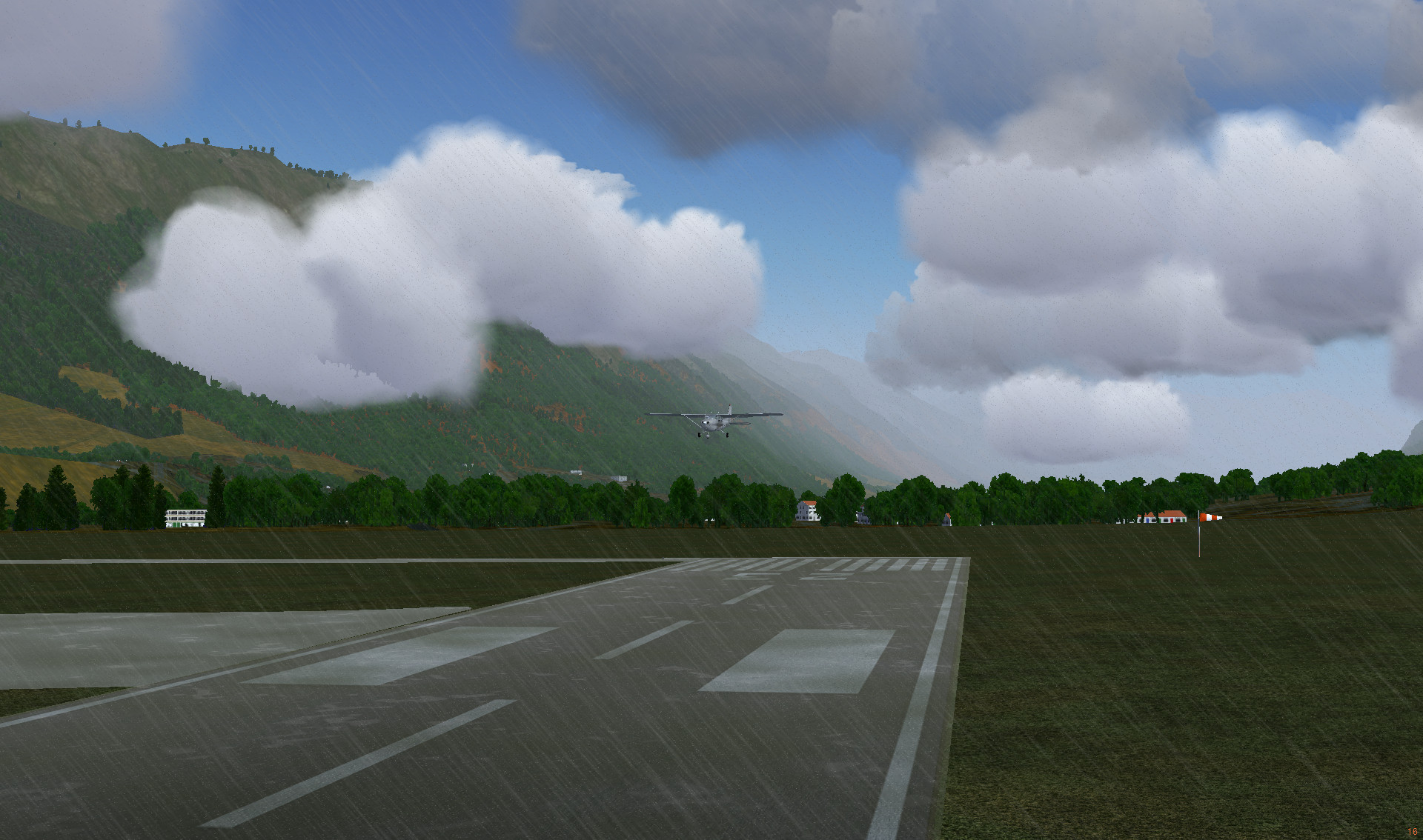
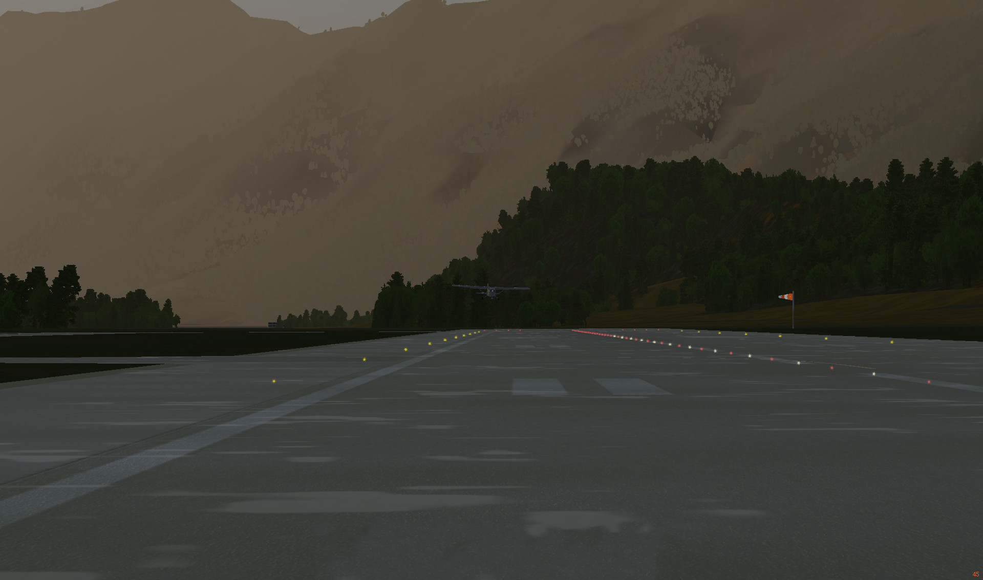
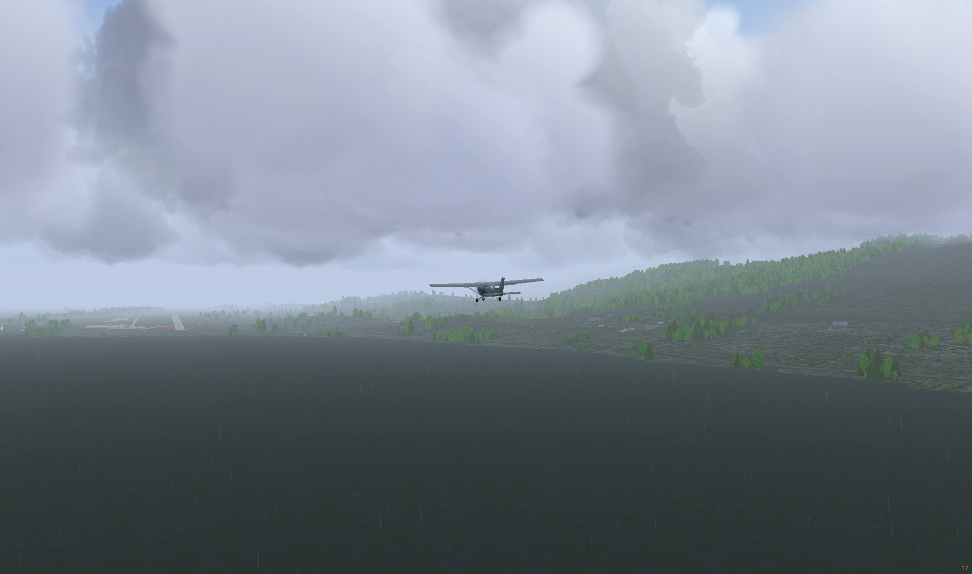
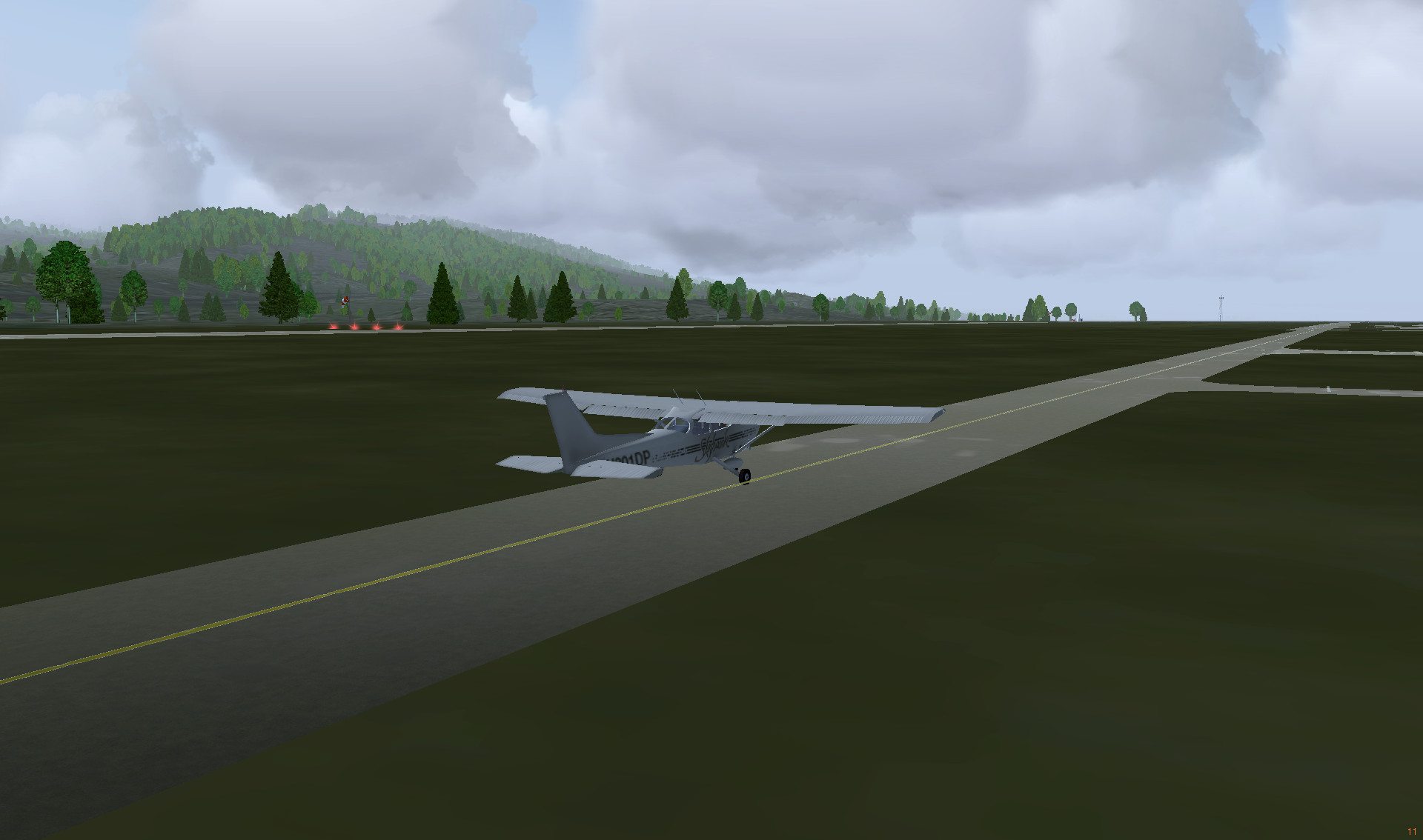
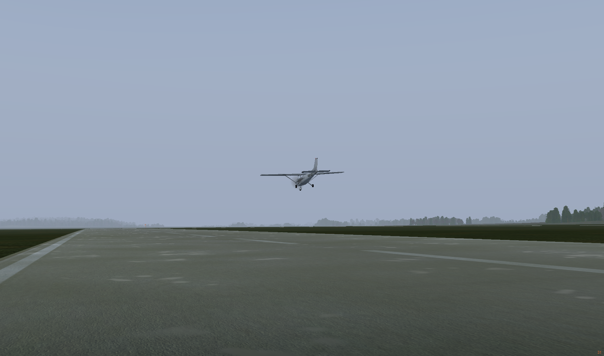
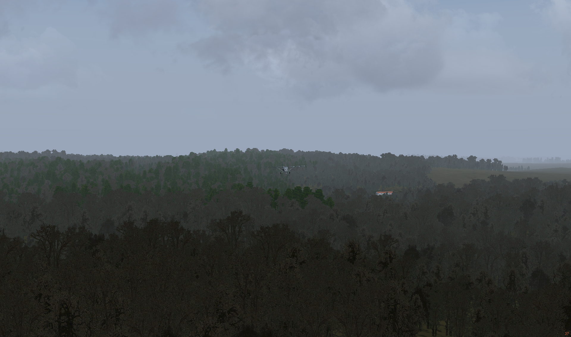
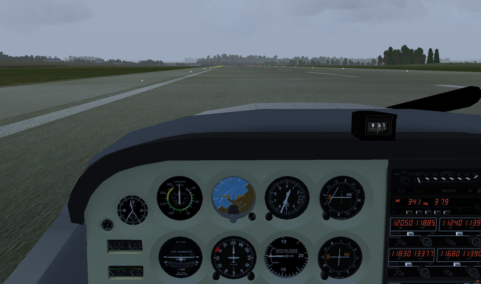
Landing on Bechyne airport was not too easy, because of the fog and too high approaching altitude. It was a quite quick and bumpy landing, but at least the plane stopped before the end of the runway. As I don’t have pedals, taxing with keyboard (numpad INS and ENTER keys) is the only option to control they plane on landing and takeoff. It’s manageable, but could be more accurate.

Landing on Bechyně Airport (LKBC)
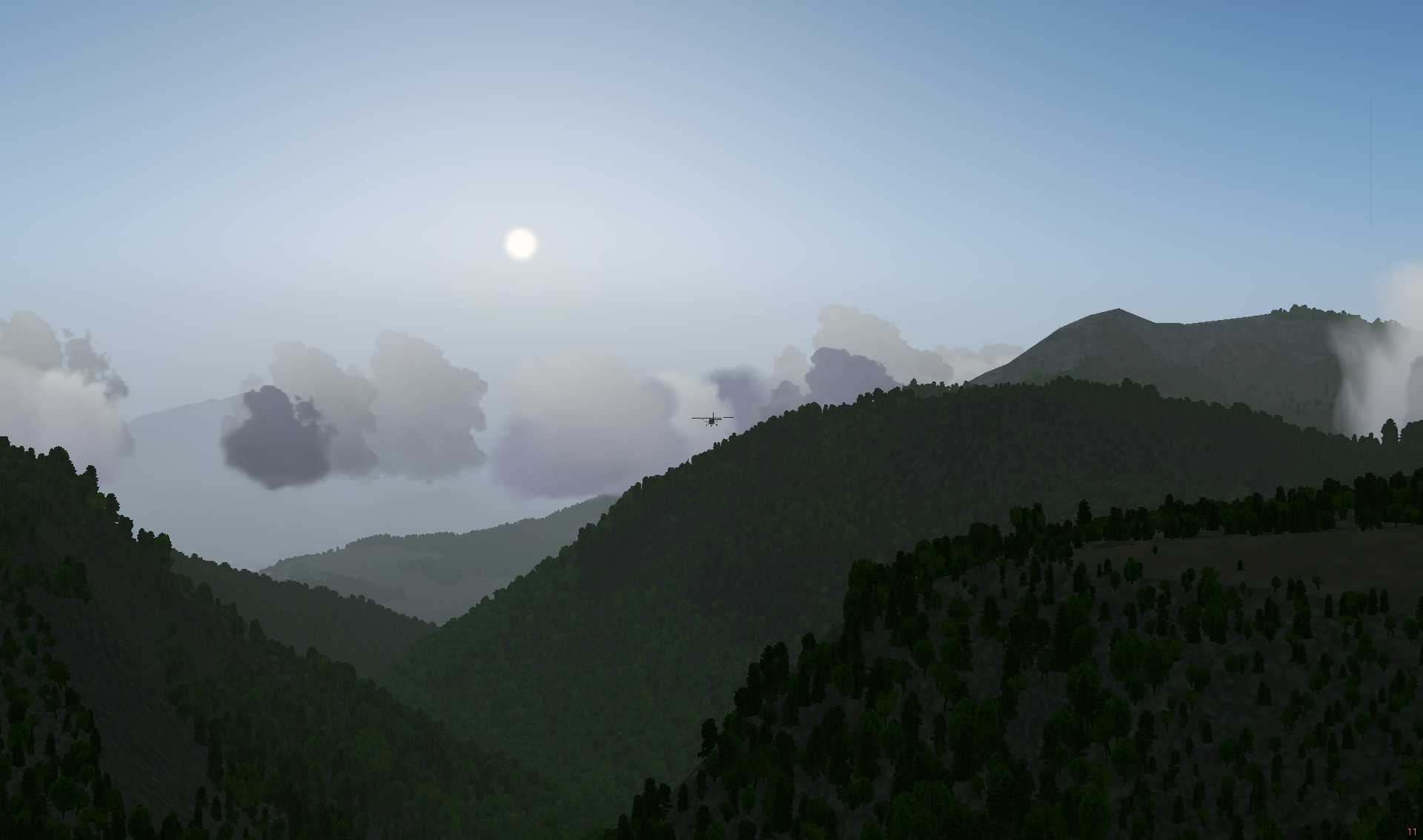
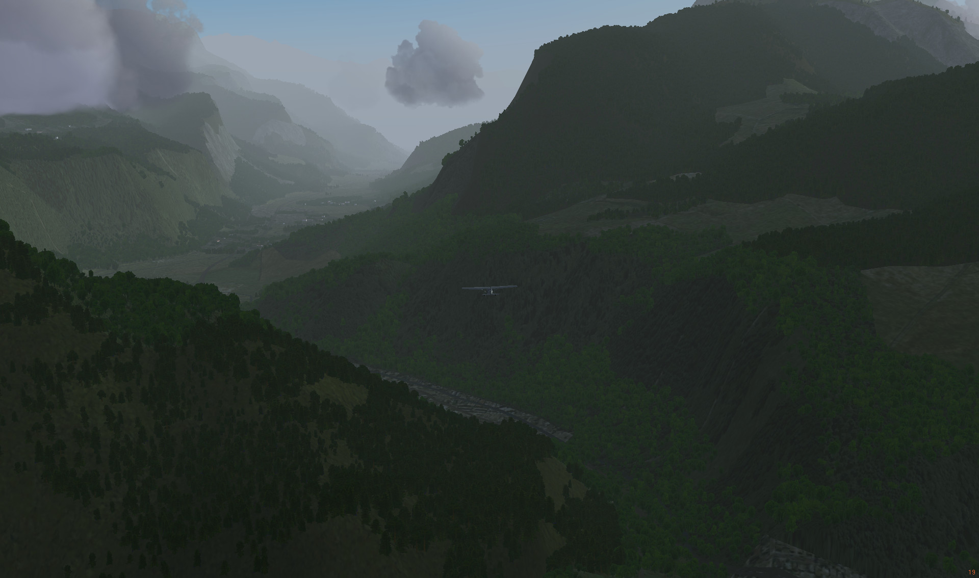
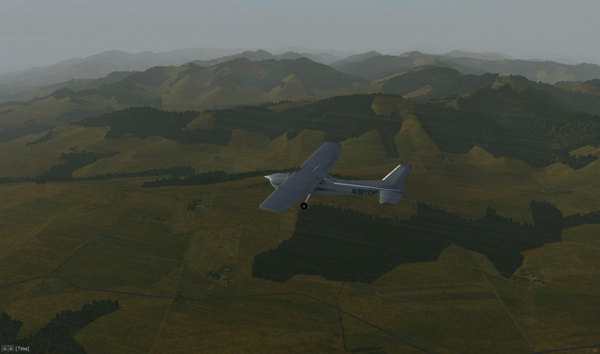
I hope, the weather during the next flights could be clear, because the mountain terrain is ahead. There are several must-visit airports around the world and one of them is high at the Alps.
Bechyně (Czech pronunciation: [ˈbɛxɪɲɛ]), is a town in the South Bohemian Region of the Czech Republic. It is located on the Lužnice River 20 km southwest of Tábor and has a population of 5,695.
Bechyně, Wikipedia